
In May 2022, my buddy Eric (WD8RIF), his son Miles (KD8KNC), and I opted to skip Hamvention that year and, instead, plan an extended weekend POTA campout in West Virginia.
 Although attending the 2022 Hamvention was a tempting idea, I had already committed to a two-month family camping trip to Québec, Canada, scheduled to begin just a week later. Fortunately, the camping trip provided us with ample opportunities for field radio and was a more budget-friendly alternative.
During a recent review of my videos, I uncovered two videos from my West Virginia journey that had previously remained unpublished.
Amidst the hustle and bustle of FDIM and Hamvention 2024 (happening now), I’ve decided to shake things up by publishing these two videos. With my schedule packed to the brim during Hamvention weekend, I’ve arranged for these posts to go live automatically.
Abbreviated field report
 Indeed, as I prepare this report (and the following one), I’m only two days away from heading to Ohio and I’m pressed for time. In lieu of my regular in-depth field report, I’m keeping these two reports simple and short so that I can fit them in my tight schedule.
Little Beaver State Park (US-1815)

My first archived field report is from Little Beaver State Park.
We activated this park on Saturday, May 21, 2022.
I didn’t take a lot of photos at Little Beaver–I find that when I activate with others, I often simply forget to take photos.
The site was very pleasant. In fact, it was ideal for POTA on a hot sunny day since there were so many trees and some well-spaced picnic tables flanking a disc golf course.
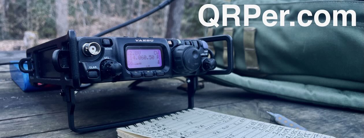
 I set up my Elecraft KX2 and paired it with my Chameleon MPAS Lite.
Gear:
 Note: All Amazon, CW Morse, ABR, Chelegance, eBay, and Radioddity links are affiliate links that support QRPer.com at no cost to you.
- Elecraft KX2 & KXPD2 Paddles
- Elecraft KXBT2 Li-Ion Battery Pack
- Elecraft ES60 Pack (Note that mine is a discontinued LowePro CS60 pack, the ES60 is identical and Elecraft branded)
- Chameleon CHA MPAS Lite
- Chameleon 50′ RG-58C/U cable
- Spec-Ops Brand T.H.E. Pack EDC
- Tom Bihn Large Travel Tray
- Moleskine Cahier Journal
- GraphGear 0.9mm 1000 Automatic Drafting Pencil
- HEROCLIP Carabiner Clip (attached to my backpack–affiliate link)
- Camera: OSMO Action Camera with Joby tripod (Note that I have since upgraded to the DJI OSMO 4 action camera with Joby Telepod Sport Tripod)
QSO Map
Here’s what this five-watt activation looked like when plotted out on a QSO Map:

Activation Video
Here’s my real-time, real-life video of the entire activation. As with all of my videos, I don’t edit out any parts of the on-air activation time. In addition, I have monetization turned off on YouTube, although that doesn’t stop them from inserting ads before and after my videos.
Note that Patreon supporters can watch and even download this video 100% ad-free through Vimeo on my Patreon page:
Click here to view on YouTube.
Post Activation

Of course, it’s been two years since Eric, Mile, and I performed these activation, but it’s funny what details I do remember.
For one thing, I remember enjoying a brilliant meal and ice cream at Dixie’s Drive-In post-activation.
I also remember taking this photo of Eric and Theo:

Good times!
If you’re interested in reading Eric’s field reports from this camping trip, please visit his website using this link.
Thank you!
Thank you for joining us during this 2022 activation!
 Of course, I’d also like to send a special thanks to those of you who have been supporting the site and channel through Patreon, and the Coffee Fund. While not a requirement, as my content will always be free, I really appreciate the support.
As I mentioned before, the Patreon platform connected to Vimeo makes it possible for me to share videos that are not only 100% ad-free but also downloadable for offline viewing. The Vimeo account also serves as a third backup for my video files.
Thanks for spending part of your day with me!
Cheers & 72,
Thomas (K4SWL)


