
Note: This first field report from my 2025 trip to Canada happens to coincide with Canada Day (today, July 1, 2025). Happy Canada Day!
by Thomas (VY2SW / K4SWL)
In a previous post, I mentioned that my family was heading north into Canada for a few weeks this summer. This trip wasn’t easy to carve out of our schedule, but we were looking for a bit of escape from all of the Hurricane Helene clean-up—and, frankly, we were craving some family time.
We arrived in Canada (via the Thousand Islands Bridge) on Saturday, June 14, 2025, in the late afternoon. Had it not been such a tiring drive that day, I would have activated Thousand Islands National Park (CA-0099), but honestly? We were all ready to check into our hotel in Brockville, Ontario, take a stroll along the waterfront, and grab some dinner.

The next morning (June 15, 2025), I took a look at the POTA map and determined that we had plenty of time for a park activation before heading into Québec. Several options lay along our route, but one, in particular, caught my attention:

Fort Wellington National Historic Site (CA-4868)
 Fort Wellington is a Parks Canada site situated right along the St. Lawrence River, which we were traveling beside. Even better, it was only about a 15-minute drive from our hotel.
We arrived on-site around 10:15 AM local time and immediately noticed the parking area in front of Fort Wellington was barricaded for an event. I saw two Parks Canada rangers standing out front, so I asked them about the event and whether it was okay to park on the street in front of the property. They couldn’t have been kinder.
Turns out, the town was hosting an outdoor BBQ ribs event that Sunday. It’s as if they expected a ham from North Carolina to pick their site for POTA! It was a pretty big event for a town as small as Prescott—there were loads of entertainers, food trucks serving all forms of BBQ, and tours of Fort Wellington.
 I asked the rangers if they were familiar with Parks On The Air (they were!) and if I could set up on the NHS property closer to the river and away from all the festivities. They gave me permission.


 I should add here that I volunteered not to put any antennas in trees or place stakes in the ground to mount my telescoping carbon fiber pole. As a rule of thumb, I default to my lowest-impact setups when at archaeological or historic sites. I feel it’s not only respectful but also leaves a good impression of ham radio operators for park staff who may encounter activators after me.
 My wife and daughters were encouraged to take a free trolley tour of Prescott—how could they resist? They told me later that it was a hoot.

 I made my way down to a shady spot under a tree by the river.

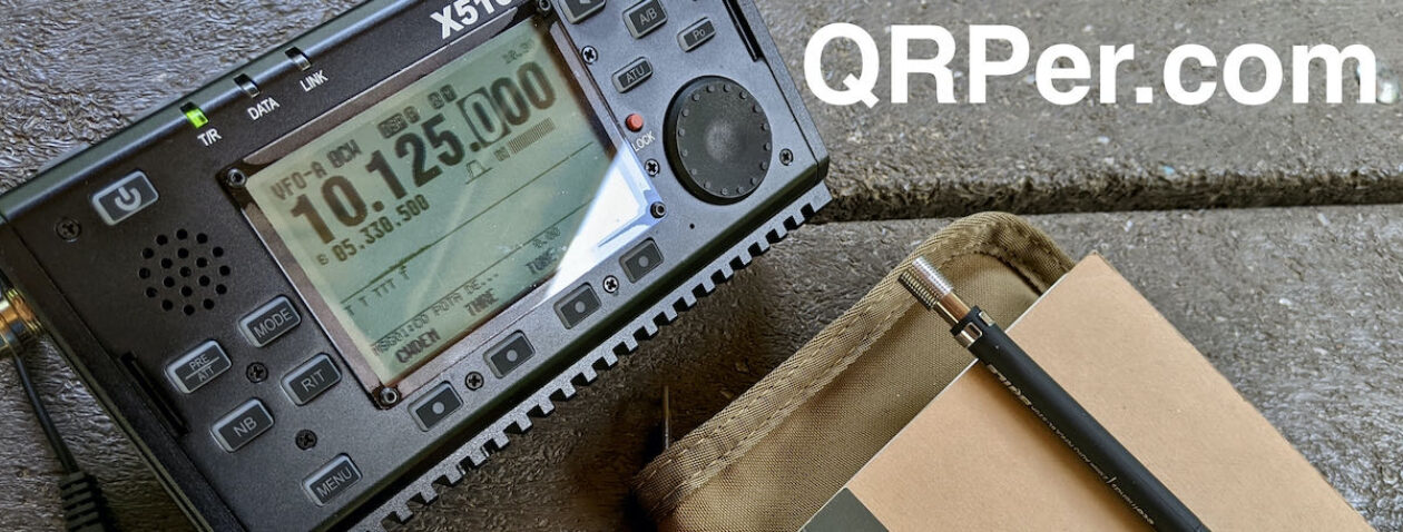
 To keep things low-impact, I set up my Nemo portable table and Helinox chair, then deployed my KX2/AX1 field kit.
I’ll be honest here…
Propagation had been very rough the previous day, and numbers were indicating challenging conditions during my activation as well. This wasn’t a day I’d normally opt for my most compromised antenna, but here we were. My hope was that I could call CQ on every band possible using the AX1 and somehow gather enough contacts (10 total) to validate the activation.
Backpocket strategy
 So here’s the deal: most of us activators aim to get the minimum number of contacts in order to complete a valid activation (10 for POTA, 4 for SOTA).
When I’m activating a park I’ve done numerous times before? I honestly don’t care if I don’t reach 10. I’m just happy to get outdoors and play radio. I try not to let the threat of poor propagation stop me.
However, when I’m activating a new-to-me park, I really want to validate it. I want those 10 contacts—and I’m willing to spend more time on the air to get them.
Technically, since I’m traveling with three other licensed hams (my wife and daughters) and we have two dual-band HTs in the car, I really only need to make four HF contacts. I could make three FM contacts on 2 meters, then three more on 70 cm with my family. That gives me 10 total.
In fact, I also have multiple HF radios and dummy loads in the car, so I could get away with never deploying an antenna at all—I could just log 10 park-to-park contacts with my family.
But where’s the fun in that, right?
Actually, I say that, but it can be fun—in situations where you’re left with no other options—to do P2P contacts with your own crew, as my buddy Vince proves here.
Still, I was determined to log “my ten” all on the HF bands, using five watts into my 4’ AX1 antenna.
The only way to find out if I could? Hit the air!
Gear
 Note: All Amazon and eBay links are affiliate links that support QRPer.com at no cost to you.
Radio
Antenna
- Elecraft AX1with 3D-printed Bipod (clip and knob by K6ARK and bipod legs by KE8PTX)
Pack/Case
- GoRuck GR1 USA
- HEROCLIP Carabiner Clip (attached to my backpack)
- LowePro CS60 Hard Side Case
Logging Pad/Pencil
Chair/Table
Camera/Audio Gear
- DJI OSMO 4 action camera with Joby Telepod Sport Tripod
On The Air
 As expected, propagation was rough.
I started calling CQ POTA on 20 meters—the band I knew would likely give me the best chance. Continue reading Tough Bands, Tiny Antenna: An AX1 Activation at Fort Wellington NHS


