Many thanks to David (W8GM) for sharing the following guest post:

My CW QRP Journey Begins
by David (W8GM)
It is not really a beginning but for some reason it feels like it.
This a summary of my second ever CW QRP POTA activation which includes a summary of my radio path to this point and a unique encounter that shows how amateur radio operators can be so separated by distance but still somehow manage to build and maintain a sense of community.
Life can sometimes be so strange. I had an interest in amateur radio some 30 years ago but what stopped me? Morse Code.
No way would I learn a dead language so I could talk on a radio! Fast forward to the fall of 2021 when I discovered there was no longer a code requirement to become licensed.
It happened fast. I took the tests, explored the bands from 70cm to 80m and simply felt my way around amateur radio. I discovered POTA and I activated my first park on January 2nd, 2022. I have enjoyed camping, hiking and the outdoors my entire life and I realized that POTA had the potential to bring the outdoors and amateur radio together. However, I was simply a weekend POTA warrior. Most of my activations were from a car or sitting at a picnic table while I was camping.
During this time, I discovered websites such as QRPer.com and The Long Island CW Club and I watched oodles of videos of people combining hiking or remote camping with small radios and practicing amateur radio. I was jealous. However, I knew I only needed to put the pieces of the puzzle together and I could be like those YouTubers I was jealous of.
So really, this is where the journey began. I joined LICW completely ignorant of what a wealth of CW information and education this club offers. I soaked up a lot of that education and continued to follow the QRPers of the world.
Unfortunately, in June of 2022, I took off a full year from amateur radio. But in July of 2023 I was able to return, and I resumed my QRP goals. Once again LICW was there to support me and what follows is the story of my second ever CW QRP POTA activation.
Activation time
I pulled into my parking spot thinking “Wow, I’ve been coming here for over 15 years.” That thought quickly disappeared when I looked at my dash and saw it was 26 degrees Fahrenheit. Southwest Michigan’s first cold week of fall. I grabbed my pack and started heading to my secret spot.
My plan was to set up and then explore the woods most of the morning. Hiking around would keep me warm through the cold morning and I’d try to play radio in the afternoon after it had warmed up a bit. I arrived at my spot and, once again, I found it undisturbed. My leftover firewood was still sitting there in a neat pile. Over the last 15 years I have come here countless times, for as short as an hour and as long as 3 days and never once has anyone disturbed my little 20-foot patch of earth.

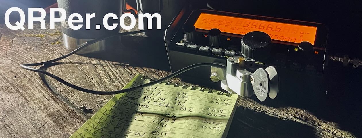
I set up my coffee kit, chair, antenna, and radio kit. I used a Packtenna 40m EFHW for an antenna and hung it in a sloper configuration. I did it just like all those QRPing YouTubers do it. I tossed a weighted throw line in the air and had the high end up about 40 feet. The radio was an Icom IC-705 and I put an Elecraft T1 ATU tuner in line for some extra insurance. I plugged in my cwmorse.us paddle and battery pack and I was good to go. But first I headed off to do some exploring before I returned and powered up the radio.
 After getting back from exploring, I was ready for some coffee and that was made next. I powered up the radio and thought I’d try starting out on 10 meters. I had learned that a huge advantage of CW is you can be auto spotted on the POTA page. Cell reception at my spot is hit and miss. Some days it is there and others you have nothing but SOS on your phone.
No worries about spotting today. CW wins again.
I called CQ for quite some time and was starting to get nervous until a faint station broke through. And of course, it was the last thing a rookie CW operator needs. The call sign was wrong, or I was failing. Continue reading Guest Post: W8GM’s CW QRP Journey Begins


