 On Friday, November 3, 2023, I had planned to activate Mount Mitchell–the highest summit in eastern North America. I need to activate Mitchell soon because I’ve yet to activate it for SOTA in 2023 and when winter weather sets in (quite early at that altitude) the park is inaccessible.
Unfortunately, last week, the National Park Service closed an 8 mile portion of the Blue Ridge Parkway due to (no kidding) park visitors feeding and trying to hold bears at the Lane Pinnacle Overlook.
I won’t get on my soapbox about how people are so out of touch with nature that they feel human interaction with bears is a good thing. It breaks my heart because as we natives of WNC say, “a fed bear is a dead bear.” Bears that become comfortable with humans become (at best) a nuisance and (at worst) aggressive. This is bad for people and it’s bad for our bears who are otherwise shy and avoid humans.
Okay, I said I wouldn’t soapbox about this…
That 8 mile section being closed meant that what would have been a 50 minute drive to the summit of Mitchell turned into a 90 minute drive. Round trip, I simply couldn’t fit that in my day, so I made alternate plans.
Another summit on my list to activate before year’s end was Richland Balsam.

Richland Balsam is actually the highest summit on the Blue Ridge Parkway and is, in fact, at one of my favorite points along the parkway.
That Friday morning, I dropped my daughters off at their classes and drove an hour or so to the Haywood-Jackson Overlook.
In the valley, as I started my drive to the parkway, past the Cradle of Forestry, it was 30F/-1C. I was concerned that on the summit–nearly 4,000′ higher in elevation–that the temp would be closer to 20F. Fortunately for me, as I gained elevation, the temperature climbed too. We were having inversion that day so the higher altitudes were actually warmer than lower altitudes. This is not uncommon in the fall and was very welcome that particular Friday morning!
Richland Balsam (W4C/WM-003)

Only three weeks earlier, there would have been no free parking spots at the Haywood-Jackson Overlook overlook–it would have been packed.

Fortunately for me, all of the leaf-lookers had gone and I literally had the place to myself. What a luxury!
And the temperature? A balmy 43F/6C.
 The hike to Richland Balsam is one of the easiest along the parkway.

At the north side of the parking area, you’ll see a trailhead for the Richland Balsam Nature Loop Trail.

The trail isn’t long; I believe the entire loop is just shy of 1.5 miles.

Although I didn’t set out to do this, I ended up making a video of the entire loop trail hike along with the activation (of course, you can skip over those parts in my activation video below).
Sadly, one thing you won’t be able to enjoy in my video? The smell. The air is filled with the fragrance of balsam trees along the entire trail–it’s just amazing!

The summit of Richland Balsam is at 6,410 feet ASL (1,954 meters).

The summit is covered in trees which is brilliant for SOTA activators. Another luxury is that there are two benches within the activation zone. I did pack my Helinox Zero chair as a backup, but didn’t need it.
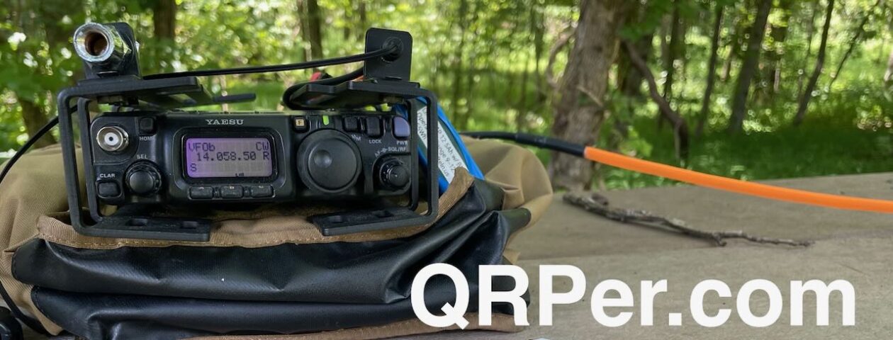
SOTA with the KH1

Setting up my KH1 for a SOTA activation couldn’t be easier or faster. I show the whole process in my video at a very casual pace. Continue reading My first SOTA activation with the new Elecraft KH1 handheld QRP transceiver!


