The following article was originally published in the June 2022 issue of The Spectrum Monitor Magazine:
 Choosing a Field Radio

by Thomas (K4SWL)
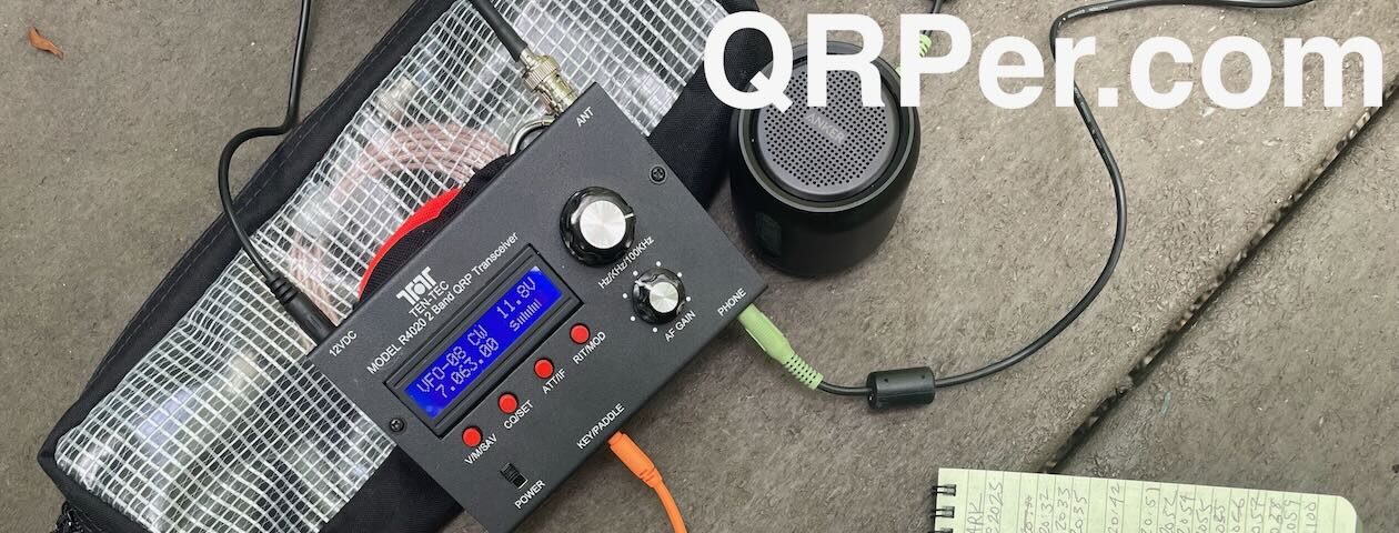
At least ninety percent of all of my radio operations happen in the field. Whether I’m in a park, on a summit activation, or I’m out camping, I’ve always thoroughly enjoyed “playing radio” outdoors. In fact, it was the joy of field radio––and the accompanying challenge of low-power operations––which launched my labor of love in the world of ham radio.
I’ve been running QRPer.com now for fourteen years, and during that time, the questions I’m asked most deal with selecting a field radio. Turns out, it’s an incredibly difficult question to answer, and we’ll touch on why that is before we dive into the reasons one radio might hold appeal over another for you.
Instead of offering up a list of field radios on the market, and reviewing each one—and, to be fair, there are so many these days—I’ll share with you a series of questions you might ask yourself before making a radio purchase, and follow up with a few bits of advice based on my own experience.These deceptively simple questions will help hone your decision-making. Finally, I’ll note a few of my favorite general coverage field radios and share what I love about each.
But, first…
Spoiler alert: It’s all about the operator, less about the specs
 When searching for a new radio, we hams tend to take deep dives into feature and specification comparisons between various models of radios. We’ll reference Rob Sherwood’s superb receiver test data table, we’ll pour over user reviews, and we’ll download full radio manuals before we choose.
While this is valuable information—especially since radios can be quite a costly “investment”—I would argue that this process shouldn’t be your first step.
I’ve found that enjoyment of any particular radio—whether field radio or not—has everything to do with the operator and less to do with the radio’s actual performance.
A realistic assessment of yourself
 The first step in choosing a field radio is to ask yourself a few questions, and answer them as honestly as you can. Here are some basic questions to get you started in your search of a field radio:
Question 1: Where do I plan to operate?
 If you plan to operate mostly at the QTH or indoors with only the occasional foray outdoors, you may want a field-capable radio that best suits you indoors—one with robust audio, a larger encoder, a larger display, and more front panel real estate.
On the other hand, if you plan to take your radio on backpacking adventures, then portability, battery efficiency and durability are king
Of course, most of us may be somewhere in between, having park activations or camping trips in mind, but overall size may be less important as we may be driving or taking only a short walk to the activation site. When your shack is a picnic table not too far from a parking lot or even an RV, you have a lot more options than when you have to hike up a mountain with your radio gear in tow.
Question 2: What modes will I operate the most?

Are you a single mode operator? If your intention is to only use digital modes, then you’ll want a radio designed with easy digital mode operation in mind.
If you plan to focus on single sideband, power output may be more important and features like voice-memory keying.
If you plan to primarily operate CW, then the radio world is your oyster because it even opens the door to numerous inexpensive CW-only field radios.

If you plan to primarily operate CW, I would strongly suggest going low power or QRP. I’ve often heard that 5 watts CW is roughly equivalent to 80 watts single sideband. I tend to agree with this. CW field operators hardly need more than 5 watts, in my experience.
And if, like most of us, you plan to operate a variety of modes, then you’ll want a radio that is multi-mode. Continue reading Choosing a Field Radio: How to find the perfect transceiver for your outdoor radio activities!


