

On Friday, December 8, 2023, playing POTA was not in the plan.
I needed to finish a field report, publish it, then attempt to make a dent in my email and comments backlog. Lately–as you might have noticed–it’s been difficult to keep up with everything.
That morning, I dropped off my daughter at her robotics class, then made my way to the Mills River Library and municipal park.
 I arrived at the park around 9:20 AM, parked my car at one of the free EV charging spots, then walked to the library front door only to discover a sign that said they’d be opening an hour late (10:00).
All of the sudden, I had 40 minutes to kill.
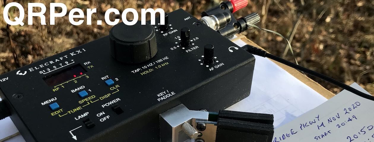
Since my Elecraft KH1 now lives in my EDC backpack full-time, I thought, “Why not hunt a little POTA?”
I started walking to the baseball field to set up then turned around, went back to the car, and grabbed my action camera. I mean…why not film this session since the camera was in the car trunk/boot? Right–? Right!
Gear:
 Note: All Amazon, CW Morse, ABR, Chelegance, eBay, and Radioddity links are affiliate links that support QRPer.com at no cost to you.
- Elecraft KH1 Edgewood Package which includes:
- Pelican Micro M40
- Trakke Bannoch Backpack
- Camera: original OSMO Action Camera (the OSMO 4 is the current version) with Sensyne Phone Tripod
POTA Hunting!
Keep in mind that the Elecraft KH1 is designed to operate on 20, 17, and 15 meters using the 4 foot whip antenna (assuming you have the internal ATU option).
 This was awfully early in the morning for any of those bands–I knew 20 meters would be my best bet of the three.
I tuned around, but I couldn’t hear or work any of the handful of activators on 20 meters. They were all outside my 20M propagation footprint–most were simply too close for 20M.

Then I noticed my buddy, John (AE5X) spotted on the 30 meter band.
For kicks, I tuned down to the 30 meter band, found a clear spot, then hit the ATU button. I was surprised to achieve a 2:1 match!
What?
Of course, a decent impedance match doesn’t equate to efficiency. Then again, what did I have to lose? Nothing…that’s what!
I called John once, but another strong station caught his attention. Once he finished that exchange, I called him again and he replied! Woo hoo!
 I suspect my effective power output was around 1-2 watts, but it was enough to make an exchange with John, so I was a very happy camper.
I also tried to work KD8IE on 30 meters, but could not punch through the strong signals from other POTA hunters.
By chance, though, I heard my buddy Eric (WD8RIF) calling CQ POTA just below KD8IE. I could hear Eric because I had my filter wide open–as in SSB wide.
I tuned down, called him and he came back with my call and a question mark after two tries.
We exchanged details, sent 72, and logged each other. What fun!
I found out later that my signal level was actually fine on Eric’s end, but I was *almost* outside of his CW filter edges. He struggled hearing me because I was too far from his centered frequency. I didn’t notice this on my end, of course, because I had my filter so wide open.
I’ve learned from this: next time I’ll narrow my filter before hunting stations. The majority of activators do not run with their filters wide open like I do.
By the way, if you’d like to read Eric’s field report from that same time frame, click here.
Video
Here’s the real-time, real-life “Slow TV” video of this hunting session with the KH1:
Click here to view on YouTube.
30M on the KH1 whip!
 I’m pretty sure Elecraft wouldn’t recommend using your KH1 on 30 meters with the whip only because of its low efficiency, but I also know the KH1 will have no problem dealing with the 2:1 match. I bet you’d get an even better match if you lengthen the counterpoise–I simply used the supplied 13′ wire.
Of course–and again–30M on a 4′ whip is not an efficient antenna system, but it’s efficient enough to make some contacts! As my buddy Kurt (NT0Z) says, “RF gotta’ go somewhere.”
I will check in with N6KR and see what he says about this setup.
Library time

Post activation, I found a comfy spot to work in the library and published a new field report.
It struck me that no one passing by would have ever guessed that I had a full HF station in my backpack! For just a moment, it made me feel like an unassuming Cold War spy!
Oh yeah, the backpack: I took advantage of a Black Friday sale at Trakke and purchased the Bannoch Backpack I’d been eyeing for weeks–the discount was deep!
I justified this purchase knowing that I was doing my bit to support the economy of Scotland! Ha ha! Seriously, though, I do love this backpack.
Thank you!
Thank you for joining me for this mini POTA hunting session!
 As I mentioned before, the Patreon platform connected to Vimeo make it possible for me to share videos that are not only 100% ad-free, but also downloadable for offline viewing. The Vimeo account also serves as a third backup for my video files. Click here if you’d like to support me on Patreon. No pressure.
Thanks for spending part of your day with me!
Cheers & 72,
Thomas (K4SWL)


