
by Teri (KO4WFP)
After a fun POTA for K2D the previous week, it was time to resume the pursuit of my 2024 goal – 60 new valid POTA activations. Friday, August 30th, I headed to Fort McAllister State Park (US-2175). Though I have lived in Savannah most of my life, I’ve never visited this park in nearby Richmond Hill.


The park is located at Genesis Point, a bluff on the Ogeechee River. An earthen fort was build on the bluff to protect the plantations along the Ogeechee River and the Savannah, Albany, and Gulf railroad bridge. According to the Georgia Department of Natural Resources, it is the best preserved earthwork fortifications of the Confederacy. The fort repelled seven Union naval attacks between 1862 and 1863 but was finally captured by General Sherman from the landward side during his March to the Sea campaign.
After being captured, the fort became a prison for Confederate soldiers captured on the upper Georgia coast. It fell into disrepair until purchased by Henry Ford (yes, that Henry Ford) in the 1930s and restoration began on the site. Later the fortifications were restored to their 1863 appearance.

I arrived at the park around 8:30 AM without Daisy. Though she loves going with me, the heat and humidity were simply too high for her comfort and I wanted to tour the museum at the site. (Often dogs are not allowed inside buildings at parks.)


If you visit the park, please take the time to walk through the museum. It is well done, looking at the history of the site all the way back to the Guale Indians who originally occupied this land. There is also a room devoted to ironclads. (After entering the park, there is an outside exhibit for the machinery that was in the CSS Nashville, a ship who was sunk on the Ogeechee River by the Union ironclad Montauk.)

After walking through the museum, you head outside to the greenway leading to the fort. There is a signal tower like one that would have been constructed after the capture of Fort McAllister, non-commissioned officer huts, and a reproduction of a barracks building that previously occupied the site.


Then you come to the fort. Who doesn’t love a fort? Though this one is simple, you could get turned around in it fairly easily. The inside is accessed via a bridge crossing a moat with palisades in it. I found the central bombproof shelter interesting though I certainly wouldn’t want to shelter in it. Just outside it, I discovered a deer eating breakfast.


I couldn’t have asked for a better day for viewing the Ogeechee River. Wow! A bright blue sky with fluffy white clouds reflecting in the river below and hardly a ripple on the surface. Views like this is one of the reasons I love living in coastal Georgia.

I would have enjoyed setting up on top of the fortifications like I did at Fort Anne in Nova Scotia. However, there wasn’t as much room here and setting up the EFRW here might not be appreciated.

I looked below and saw several oak trees near the riverbank. Though there was a gravel path, it was wider than the path on top of the fort. Anyone walking by would have plenty of room to avoid my antenna. Plus the trees would shade me from the summer sun.

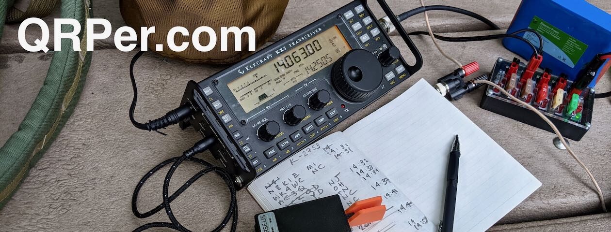
After several tries, I snagged a live oak branch and had the Tufteln EFRW installed. I set up my Helinox chair, settled my equipment on my Tufteln kneeboard, and got to business.


I started with 40 meters, giving ops close to home a crack at me; but the only op who contacted me was Lou N8LEM, a nice op in Ohio from one of my CW Innovations classes. I switched to 20 meters and that band proved to be the heavy lifter of the day – 31 CW QSOs over the course of an hour and a half, including two park-to-parks: Carson W8VAB at US-1828 in West Virginia and the Tortolita Radio Club KT7RC at US-4571 in Arizona.

By noon, it was time to call QRT. The sun was gradually encroaching on my shady locale and I had sweated enough for one day.

I had no idea this park was such a gem! The fort is accessed only by paying a fee or purchasing a Georgia State Park historic site annual pass. (There are picnic grounds accessible with a state park pass or $5 fee outside the museum and fort area.) As I intend to revisit the site as well as other historic sites over the course of this next year, I went ahead and purchased a pass.

For those interested, you may access my YouTube video for this activation via the following link: https://youtu.be/IhXsd87fy6k
My valid activation here gave me #38 of the 60 parks I need for my 2024 goal. I have four months to get the remaining activations I need. Where will I show up next? Stay tuned…
Equipment Used
[Note: All Amazon, CW Morse, ABR, Chelegance, eBay, and Radioddity links are affiliate links that support QRPer.com at no cost to you.]


