
I hope the first two parts of my SOTA journey with Mark, NK8Q, has been interesting reading. It is really tough to put into words what the trip meant to me. Back in November I had my left knee replaced, and was preparing myself to possibly not be able to enjoy the luxury of being able to walk, run, hike and backpack. I never would have dreamed by the time this SOTA journey started that I already would have walked a half marathon on the new knee, nor be able to hike up summits. I have been truly blessed to be able to continue to do the things I enjoy. SOTA and POTA over the past year has renewed my interest in the hobby.
After we left Stony Man Mountain, we headed to the campground we were staying at along Skyline Drive. We lucked out earlier in the day by randomly arriving around 11:45 a.m. at the campground and even though the sign said it was full, the park ranger said to wait 15 minutes because there could be some checkouts right at the cutoff. We waited it out and at noon the ranger confirmed we had a campsite! Perfect…after 2 days of staying in motels, I finally got to camp in my new tent.

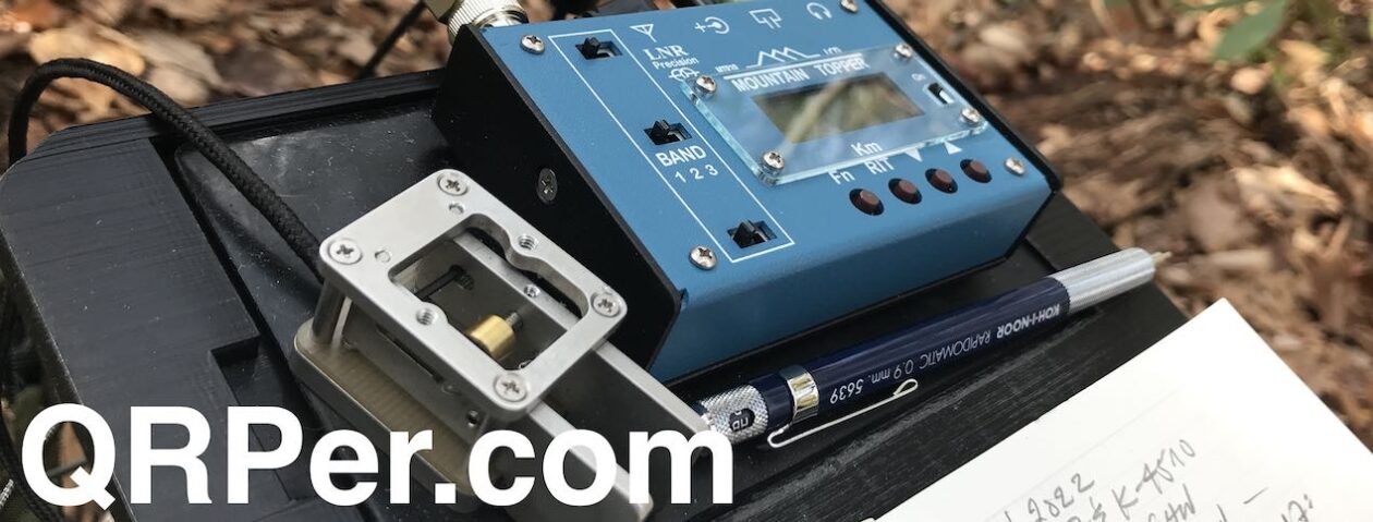
Once settled in, I thought it would be a good evening to set up my antenna and operate a little “late shift” on POTA – Shenandoah National Park (K-0064). I was just a bit too far off the A.T. to make it a “twofer”. This yielded 16 QSOs and then called it a night.

The next morning was also the last day of our SOTA trip. I woke up after a pretty restless night due to the fact my old body cannot tolerate being so low to the ground. I believe the last time I slept in an actual tent was in 1981 in boot camp at Parris Island. I am now a hammock camper and it sure feels much better on the back. So, back to the story. After breakfast we packed up and drove to the first of two SOTA summits before heading home.
The first was Pinnacle Overlook (W4V/SH-005). The climb took an unexpected wrong turn from the parking lot but quickly rectified. The hike to the summit was fairly steep, but there was beautiful flowers and rock formations and the summit was aptly named The Pinnacle. What a beautiful view of the Shenandoah National Forest.


We saw several thru hikers on our hike both up and back down the mountain after the activation. Several were interested in our ham radio operations. I found a perfect spot to operate from right along the Appalachian Trail and off to my left I could look over and see the view. I had 20 QSO’s and the bands were in decent shape.

It was time to head back down to the parking lot and continue our journey to the next stop, Hog Back Overlook (W4V/SH-007). There wasn’t much of a view once we climbed to the top of Hog Back, but met more through hikers, including one lady who was wearing a hat from Boston Marathon. Her trail name was GiGi, which is her Grandma name, which is also my wife’s Grandma name. She decided at age 65 she was going to hike the entire A.T. and had already run the Boston Marathon, so this was a bucket list item for her. I told her hiking the entire A.T. is my goal in 2026 when I’m retired and was nice to know there are hikers in our age group that are still able to accomplish these things. We gave her some trail magic, and Mark and I continued on our way to the top of the summit. There wasn’t much besides an old building which may have been a ham radio shack at one time, and some towers but not much of a view. We did a fairly quick activation and I had 12 QSO’s before packing it up. (I almost thought I heard the sound of banjos playing up there.)


We made a couple of other stops along the Skyline Drive, one was for the tunnel that was built along the route, and another stop to see the scenery from the outlook. It was time for me to start heading back to Lancaster County, which was about a 4 to 5 hour drive and Mark had two other summits he wanted to visit. What I did not expect to see at the one stop to look at the views was a lady who was sitting along the rock fence painting. I asked her if I could take a picture of her holding the picture she was painting and she gladly agreed. It took her about an hour to paint it and was finishing up when I arrived. After I left I regretted not thinking to ask her if I could have purchased the picture!


I arrived home around 5:30 pm on that Sunday evening and was completely exhausted. Mark sent me a text and told me at his next summit he was on the trail and saw GiGi again.

Thankfully, I had taken Monday off for a vacation day because I was exhausted from all the traveling Mark and I had done in 4 days. In addition to the driving, we did a lot of walking to the summits and operating. It was an experience neither of us will ever forget. We are already starting to plot our plans for next year for another adventure.
I’d like to thank Mark for putting this trip together and plotting out which Summits to do on each day and the best way to navigate to each destination. The hikers on the trail were all wonderful, and some of them asked questions about what we were doing, especially when we had our fishing poles at the summit with no trees. I used the HAMRS program for the 4 days, and other than some operator error, the program worked flawlessly. I especially would like to thank Thomas Witherspoon for allowing me to share my story on QRPer. Tom is an awesome ham and we share many of the same interests for POTA or SOTA, and we both enjoy antenna experimenting and our passion for QRP operating. Thank you again Thomas for the opportunity to share my experience, and I hope you enjoyed my SOTA experience.
73 Scott Lithgow
KN3A


