
by Thomas (K4SWL)
On Wednesday, May 21, 2025, I had another opportunity to squeeze in a POTA activation during a late morning drive back to the mountains after visiting my father, who was in the hospital at the time.
Once again, I chose one of my favorite POTA sites that I don’t get to visit nearly enough these days: Tuttle Educational State Forest.
Tuttle Educational State Forest (US-4861)

The weather that Wednesday was nearly perfect, and I was really looking forward to getting on the air.
One advantage of early-to-late morning activations this time of year is avoiding those unpredictable afternoon pop-up thunderstorms that are so common and can chase one off the air.
I picked out a shady picnic table beneath a canopy of trees, hoping it would provide a few good options for hanging a sloper.
Spooltenna Time!
 As I mention in the activation video, I was an early beta tester of the Spooltenna. Just before Hamvention, Rob (KO4HUI) sent me a final production version so mine would match what’s now shipping. This was the first time I’d deployed the production model in a sloper configuration.
Full disclosure: I didn’t pay for this antenna, as I volunteered as a beta tester. Rob and his wife Christi also invited QRPer to join the affiliate program, so QRPer earns a small percentage of any sale made through our link.
When I surveyed the trees around my site, I realized I didn’t immediately see a branch directly over my operating position. That’s really what a sloper needs—especially with this antenna—because the feed point is elevated and a bit heavier than something like the far end of an EFHW radiator. I also wanted to maximize height using my 25′ cable assembly, which meant a more vertical hang would be best.
 Eventually, I spotted the perfect branch. It took a couple tosses with the throw line–my window to hit it was narrow–but that’s part of the fun!
Slopers have great performance characteristics, so it was worth the (wee bit of) extra effort. And to be fair, if I deployed slopers more often, I’d probably be a lot better at it!
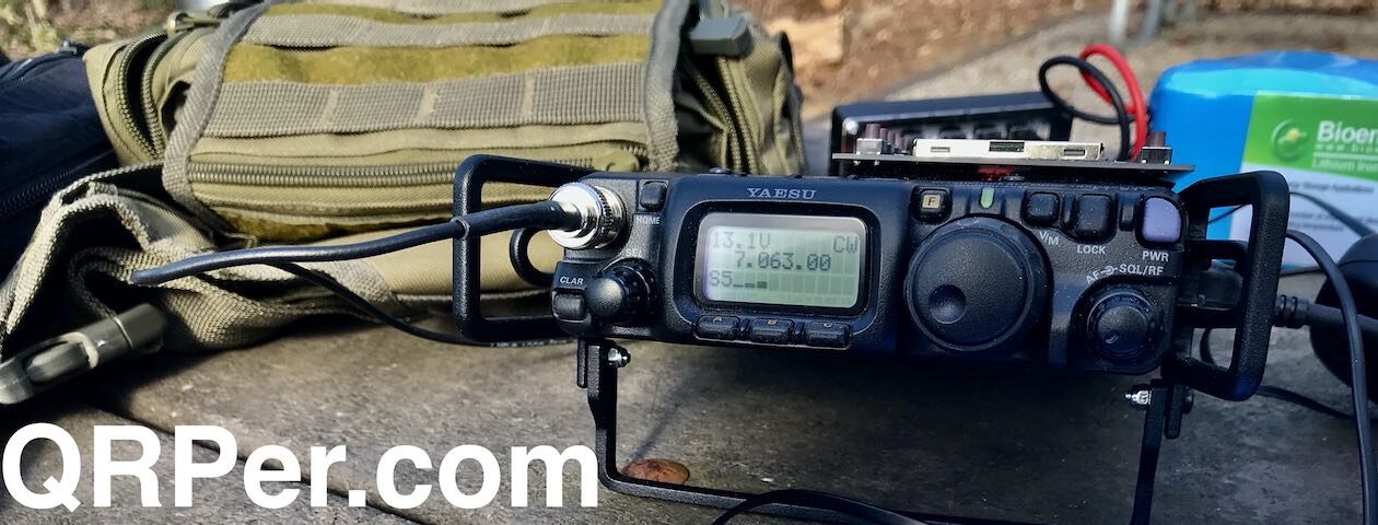
 With the Spooltenna deployed, I simply set up my Yaesu FT-818 and I quickly checked the SWR on 20 meters where I planned to start the activation. Turns out, it was a near perfect match! Woo hoo!

Time to get this activation started!
Gear

Note: All Amazon, CW Morse, ABR, Chelegance, Spooltenna, eBay, and Radioddity links are affiliate links that support QRPer.com at no cost to you.
Radio and Battery System
Antenna & Cable Assembly
Arborist Throw Line
Key and Accessories
- BaMaKeY TP-III Ultra-Compact Twin Paddle
- Senrog Bench Block TP-III base
- Tufteln TP-III Magnetic Protective Cover
- Key cable: Cable Matters 2-Pack Gold-Plated Retractable Aux Cable – 2.5 Feet
Other Gear
- NEMO Resolve 25L Backpack
- Rite In The Rain Top Spiral Notebook
- GraphGear 0.9mm 1000 Automatic Drafting Pencil
Camera and Audio
- DJI OSMO 4 action camera with Joby Telepod Sport Tripod
- DJI Wireless Microphones
On The Air
 I started calling CQ POTA and was pleasantly surprised: 20 meters had some life! Continue reading POTA QRP: A Mid-Week Reset with the FT-818 and Spooltenna!


 ) In an effort to shake things up, I decided to use all three keys currently in my POTA kit: the VK3IL-design paddle gifted to me by Brian K3ES, the BaMaTech III paddle, and the CW Morse Pocket Single Paddle/Cootie key.


