
by Teri (KO4WFP)
It is said that all good things must come to an end and a POTA trip is no exception. Packing up camp at Reed Bingham State Park the morning of June 3rd was an easy endeavor. Daisy and I were soon headed toward Savannah with a POTA planned along the way at Alapaha River Wildlife Management Area (US-7881). We passed through the communities of Tifton and Ocilla, Georgia.

As one travels through Georgia, you see a variety of crops along the road – cotton, peanuts, corn, pecans, blueberries, soybeans, etc. – as well as cattle in fields and poultry houses. As I worked my way toward Alapaha River Wildlife Management Area (WMA), I came across a processing plant for peanuts in Tifton, Georgia.


Peanuts are big business in Georgia. According to the Georgia Peanut Commission, the state of Georgia produces 52% of the peanuts grown in the United States which translated to 1.45 million tons in 2022. That is a boatload of peanuts!
Peanuts are planted April through June and then harvested about five months later in the fall. One fact I did not know is there is a “peanut belt” in Georgia, an area south of the fall line but omitting the coastal counties, where peanuts are planted in the state. I was driving inside this belt.


Nuts aside, it wasn’t long before Daisy and I arrived at Alapaha River WMA. This WMA opened in 2016 and contains nearly 7,000 acres. According to a Georgia DNR article, the site has an estimated 2,000 gopher tortoises, the most for any state-owned tract of land in Georgia. This is not surprising given the density of sandhills on the property, a habitat in which gopher tortoises thrive.
The dirt road into the property was nicely groomed. I drove past areas of young planted pines as well as more mature pine stands. However, neither of these areas were conducive to an activation, partially because the trees offered no shade and partially because the branches were either too low or too high for me to install my EFRW antenna.


I continued on Jacks Creek Road and headed toward a dove field (the brown area on the map down below) at the point the road dead-ends. I figured there may be trees along the edge of the field offering what I needed. I turned left onto North Bugle Trail and, off to the right hand side, saw an area with both shade and trees I could use.


After donning my blaze orange attire and installing the Tufteln EFRW, I attached the new hitch system to the hubcap of one of Kai’s front wheels and the rope to the clip on Daisy’s harness so she could make herself at home along with me in the shade.

While checking out the shady area, I noticed several things – dandelions with their sunny, yellow faces and animal tracks in the sand. The set of tracks for deer were easy to identify. However, another set, not so. I think the second set belonged to a raccoon.


Today’s activation would be short as I had a three-hour drive ahead of me and needed to be home in time for my son’s evening driving class. (Yes, we’ve reached that stage of life in the POTA Babe household.) In 45 minutes, I logged 19 contacts including one park-to-park with Charles AB9CA at US-2275 and a QSO with Ronald N7WPO in Washington state! That QSO on 5 watts and a wire is part of the magic I mentioned near the end of my previous article.

During the activation I had watched the sun creep closer and closer to Daisy and me. When the time reached 11:15 AM, we were nearly out of shade. It was time to call QRT and head home.
This overnight POTA trip turned out well. I learned more about my camping set-up and the beautiful state in which I live. I had time to do what I love – ham radio in the outdoors. And, with these three activations, I now have 30 parks toward my 60 new-to-me park activation goal for 2024!
I am halfway there.
Thank you to all of you who have supported me thus far. However, my journey is far from over and the fun will continue. Where will I activate next as I work toward 30 more new parks? Stay tuned…
Equipment Used
[Note: All Amazon, CW Morse, ABR, Chelegance, eBay, and Radioddity links are affiliate links that support QRPer.com at no cost to you.]
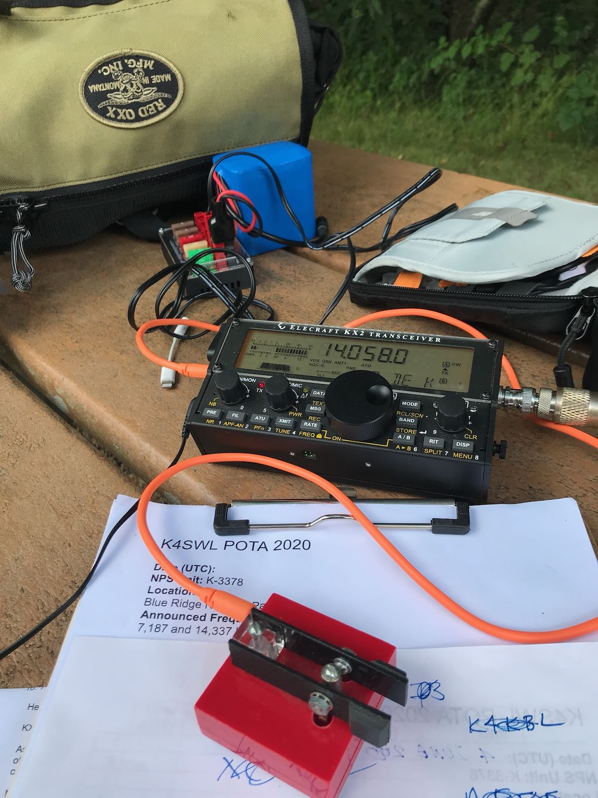
- Elecraft KX2
- Pressure paddle (David VK3IL design)
- Tufteln 9:1 EFRW Antenna
- Tufteln RG-316 Coax
- Tufteln Knee Board
- Weaver Throw Weight
- Marlow Excel Throw Line
- Reflective Blaze Orange Dog Vest
- Blaze Orange Hunting Vest
- Sitka Ballistic Cap (blaze orange)
- Helinox Chair Zero High-back
- Ruffwear Campsite Dog-Hitching System