
After my last activation at Oliver Bridge Wildlife Management Area (K-3764), I considered heading to South Carolina for park #16 toward my 2024 goal of 60 new-to-me parks. However, after looking at the weather forecast, I reconsidered. I’d need to activate earlier in the day due to my schedule and, given the chilly weather, I’d prefer to sit in the car for the activation. That would not be a good option for the park I considered.
So, I began looking at more wildlife management (WMA) areas in Georgia not far from home. I chose Hiltonia WMA (K-8794) which is an hour’s drive for me. This WMA is 500 acres mostly of hardwood and long-leaf pines and is owned by the State of Georgia. The property offers hunting of deer, turkey, dove, and small game.
I did not know before my visit that longleaf pines existed on the property but figured it out when I discovered their needles while walking with Daisy after the activation. You know longleaf pine needles when you see them because they are much longer than other pine needles. In fact, they have the longest needles of the eastern pine species and can grow up to 18”. The needles I found were 14” in length!

Longleaf pine forests are special because they are rich in bio-diversity and provide habitat for the threatened gopher tortoise, a keystone species because it provides burrows in which other species, like the threatened Indigo snake, live or shelter. The endangered red-cockaded woodpecker is another species that benefits from longleaf pine forests because it lives in the cavities of mature longleaf pine trees. The species dwindled when many of the old-growth longleaf pine forests were felled and/or replaced with commercial forests of loblolly or slash pine in the southeastern US.


You access the Hiltonia WMA via a dirt road in the middle of nowhere. The property has an information kiosk right near the entrance with a map giving you the lay of the land. I usually look at whatever maps are available online from the state of Georgia or Google beforehand. For Google maps, I usually use the topographic layer as this is the default and shows me roads to access the property. But before this trip, I played with the layers setting and discovered the imagery layer will give me a better idea of what is forested and not. Hence I could easily locate an open area to set up my antenna.


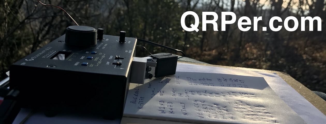
Just past the information kiosk is a dove field and it was there my Subaru Crosstrek Kai and I set up shop. What a gorgeous day! Crisp air under clear, blue skies. Daisy explored and sniffed to her heart’s content while I installed the Tufteln EFRW antenna in the perfect pine with one toss!


It was not long before Daisy and I were installed in Kai and ready to get the party started. And what a party it turned out to be! Not long after I called CQ on 20 meters, Joseph KB1WCK responded. After we finished our QSO, I was buried under a massive pile-up. However, pile-ups do not intimidate this POTA Babe! I did the best I could to pick up bits and pieces and work through it. Did I make mistakes? Sure I did, but there are no CW police and this is how we learn, through challenges. Continue reading The Georgia Wildlife Management Areas Continue to Deliver


