
By Teri KO4WFP
In my last article, I activated Hanging Rock Battleground State Historic Site and then Glenn and I spent the evening at an Airbnb in Camden, South Carolina. Monday, October 14th was the last day of our trip. There was no way this POTA Babe was missing out on an activation on the trip home.
Sunday evening, after the Hanging Rock activation, I searched for a nearby park on the POTA website and settled on Wateree River Heritage Preserve Wildlife Management Area (WMA) (US-10414) as it looked interesting and was on the drive home. However, I didn’t pay attention to the fact a lottery deer hunt would be held on Monday and the park closed to anyone not involved in the hunt. I discovered this fact that morning upon arriving at the site. It was time for a Plan B ASAP.


Looking on the POTA website, both Congaree National Park (US-0017) and Congaree Bluffs Heritage Preserve WMA (US-3916) were nearby. I recall reading that some of the boardwalks/trails in the national park were impacted from Hurricane Helene. So I opted to visit Congaree Bluffs instead.

Congaree Bluffs Heritage Preserve is owned by the State of South Carolina. The property was purchased in 2001 with the express purpose of protecting the bluffs and flood plain on the south side of the Congaree River. The high bluffs in this area are not common because central South Carolina is mostly flat. The 201 acres of the park contain significant stands of American beech, oak-hickory, and bottomland hardwood forest. There were also stands of loblolly pines at the time of purchase that management planned to convert to longleaf pine stands over time.
The road into Congaree Bluffs is dirt but appears well maintained. There is a kiosk and signage just as you enter the park.


We drove to the parking lot just down the road from the education center. I didn’t have much familiarity with this park since it was a last minute choice. A hasty glance at hiking sites showed the Bluff-River Walk that left from this parking lot down to the Congaree River. How difficult could that be?


Glenn and I walked around the trail gate and began our descent. The first thing we noticed was how many trees were down across the trail as well as vines and other foliage making passage difficult. As we continued our descent, we began to notice the mosquitos. I was wearing long sleeves and pants and had brought bug spray but these mosquitos were not easily deterred. By the time we reached the river, it was obvious we’d be nothing but blood donors there and an activation needed to happen elsewhere.


Arriving back at the car, I opted to activate in the parking lot. A stand of pines nearby provided shade (though I augmented that with my Mountain Laurel Designs tarp) and a fairly steady breeze kept the bugs at bay.


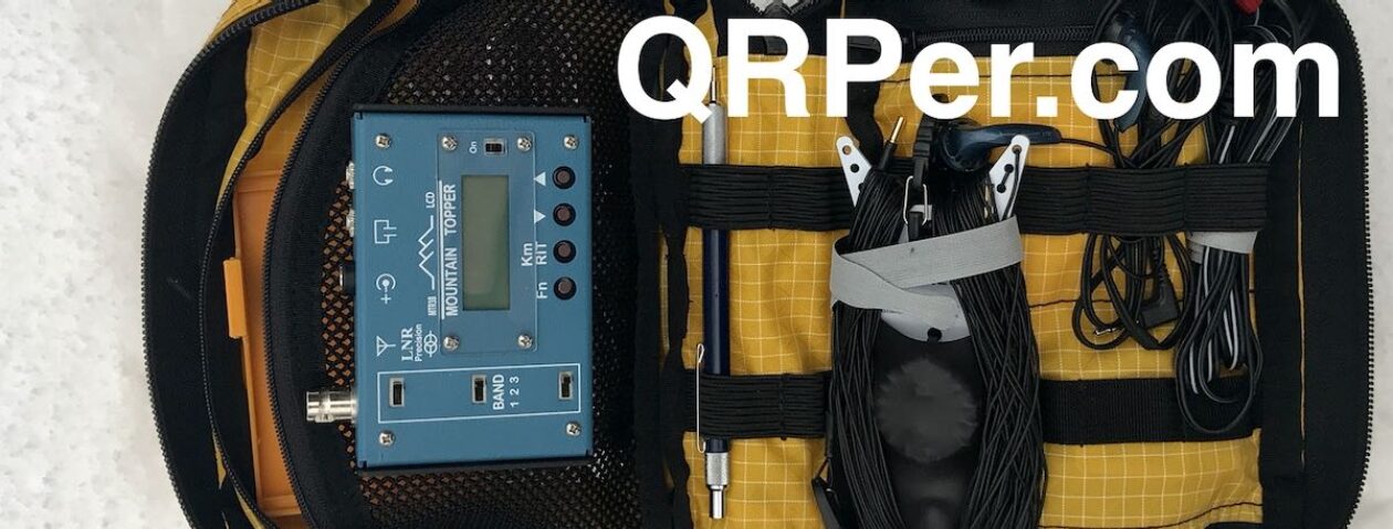
As both Glenn and I had CW Innovations classes to coach later that evening, I didn’t have much time for an activation. I opted for the Chelegance MC-750 and, once it was set up, hopped onto 20 meters figuring that band would give me the best chance at a successful activation in a short time-frame. It did! I had 23 QSOs with two park-to-park QSOs in 30 minutes. (Note: One park-to-park didn’t count after the fact as I entered it incorrectly in my log.)

The only fly in the ointment for my time on 20 meters was the QSB and noise which increased later in the activation. Usually I encounter noise on 40 meters, not 20, but the KX2 filters were a huge help in countering that issue. (I love that little rig!) As for the QSB, well, the best counter for that is plenty of time on the air to gain experience in dealing with it.
If you’d like to see footage of the park as well as get Glenn’s and my take as to whether or not we’d return to Congaree Bluffs Heritage Preserve, check out the video on my Youtube channel.
This activation places me at 44 activations toward my goal of 60 new, valid park activations for 2024. I’m not sure I’ll be able to complete this goal; however, I will see how far I can get. Where will I show up for park #45? Stay tuned…
Equipment Used
[Note: All Amazon, CW Morse, ABR, Chelegance, eBay, and Radioddity links are affiliate links that support QRPer.com at no cost to you.]


