
As always there are lots of links within the article. Click one! Click them all! Learn all the things! ?
Ahhh .. few things in life compare to the view one sees while lakeside in the mountains. The flat water is a stark contrast to the towering mountains nearby. There is at least a 4000′ difference in height between the two at my destination in this story. For me, nothing so succinctly tells me where I fit in the world as when I stand among these giants.
So It was with that big goal in mind that a drive through the mountains of Alberta’s Kananaskis Country region was called for. The drive would take me through sweeping vistas, over high mountain road passes, along nearly 100km of gravel roads in no-cell-service backcountry while racking up nearly 400km of travel in one day.
Along the way I activated two never-before done parks in the POTA system and scouted out one more to be done at a future date. This is the story of the lakeside activation… but first, watch the short video to understand why I’m gushing on the beauty of this particular spot and written this atypical (for me) article about the activation itself.
The Drive to the activation

For those of you that want to replicate this trip, here’s the route I took shown on the map above.
From just before when I turned north off Highway 541 to Highway 40, and until I reached Canmore, there is zero cell service. Same again turning onto Highway 68 from 40 until Bragg Creek.
Alberta has much backcountry that is well beyond cellular range. Working at The Candy Store(tm) as I do, I have access to items like the Zoleo Satellite Communicator to give me text messaging and SOS capabilities should I need them. Before I discovered SOTAmat, I used the Zoleo for all of my spotting in backcountry.
I’m a fan of the Zoleo and it’s features/functions. There are others like the Garmin Inreach Mini, Bivy Stick and the Motorola Defy. If I keep up the activation pace I’ve been doing lately, I’ll have to invest in my own, if only so my colleagues also have a chance to sign out the unit as I’ve been hogging it a wee bit lately. Whoops.
Naturally, any trip into backcountry calls for things you may need but not use. Gloves, extra jacket, bear spray, lots of water, snacks, a roll of T.P. (you never know!) and hand sanitizer to name more than a few things. Your vehicle should be in top shape with a full tank of fuel and plenty of windshield washing fluid. Lastly, get used to dust as a fashion accessory <grin> as there’s no shortage of it.
After a large breakfast, my wife and I were on our way. Heading west out of Longview on Highway 541, and having passed the last cell tower on this leg of the trip, my HamAlert went off and both N5FY and K4SWL were activating at the same park -K-2202- as part of the W4 campout event. A moment later, my in-vehicle cell booster was no longer sufficient and I ran out of service, but with ham radio aboard you are never out of range, and I was able to work K4SWL on 17m with the up and down buttons on my hand mic with the FT-857D in the truck at 50W.
Shortly afterwards I turned north onto Highway 40.

Side note – should you ever work me and I sign with ‘/M’, I’m running a slower speed as I’m on the hand mic and the FT-857D while moving down the road. I have key phrases programmed into it’s keyer.

We crossed over the Highwood Pass (elevation 7238′) and kept heading northwards. This pass is the highest in Alberta and the highest paved pass in Canada. It’s also closed to traffic from December 1st until June 15th, like many roads in K-Country. I love coming out at this time of year as it’s not very busy but still quite pleasant weather-wise.
A quick turn to the west and we were on the Smith-Dorrien Trail which would lead us towards the first activation point. Mapping in this area is complex given the large number of provincial parks contained within K-Country.
I’ve learned that Area Management Plans are the best source of boundary lines as the normal maps offered are lacking the detail I required; like any POTA expedition to a new place, you need to know if you are in the boundary or not. While I had scouted a couple of picnic areas ahead of time and knew they fell in the boundary, the boat launch I stumbled upon was kind of unclear.
So I figured in the worst case I’d miss the ATNO activation and do another park – and I proceeded to get set up at the boat launch anyways, a bit uncertain about which park I was in. At any rate, after that much driving, I needed a break. I later learned that the dividing line between two parks was along the west side of the highway – the same side as the lake – and the entire lakeshore was within the boundary. To boot, by sheer luck I parked right beside the Trans-Canada Trail, VE-5082, which I realized when I saw the trail logo on a signpost. That made this activation a 2-fer!
The first activation
Actually finding the place to operate was half the battle fun. It’s not like there’s notes on the distance along the gravel road until you land at a given picnic area for example so your odometer really doesn’t help much. This experience is more like drive until you arrive.
The first two day use spots we stopped at were already closed for the season so I kept driving. Until I pulled into the parking lot of Driftwood Boat Launch I didn’t even think of it as viable as many backcountry boat launches are nothing more than a ramp to the water. At least this one offered creature comforts like a bathroom and parking along with a couple of picnic tables.
Signs in this area are best categorized as well-marked and maintained so that makes wayfinding relatively easy.

It was a beautiful day at about 65F/18C and wind out of the south gusting a bit. I deployed my Goture crappie rod mast by affixing it to a parking control sign and using the South Bend spiral rod holder on the bottom to peg it into the rocks. I hoisted up my VE6VID-built 66′ EFHW after connecting my RG-174 feedline with a built-in choke. I walked to the other end and I had just enough string off the end of my antenna to wrap around another signpost about 85′ away. I set up my radio gear on a suitable flat-topped rock and pulled out a lawn chair for creature comfort.
Once I was fully set up and facing the sun, I found myself taking my coat on and off throughout the activation thanks to that little bit of wind.

One thing I neglected to do before leaving home was check the solar conditions, so earlier a quick text message to my buddy Dann VE6TD via the Zoleo and I heard back SSN 92 SFI 148 K 0 A 8, and I drew a picture in my mind that 10m wouldn’t be too viable. Prior to arriving I even listened to the IARU beacons to see for myself and heard only W6WX and KH6RS and it confirmed my thinking, at least I was right in my mind.
Was I ever wrong about 10m – discovered when I dialed up 28.074 to check on FT8 and it was alive like I rarely see it. So I loaded up SOTAmat on my iPhone and began transmitting the tones. Switching to my chosen frequency, I then called for 12 minutes with zero responses. Now I was convinced that 10m wasn’t too hot.
I’d learn later that no SOTAmat skimmers had heard my signal. Well, that explained that!
Anyways, I dialed up 15m and repeated my steps on SOTAmat and the response was immediate and a bit overwhelming.
A quick note to hunters: Please don’t call on the activator’s frequency. When many of you do it at the same time, it makes for a stream of beeps that are impossible to decode. Thank you for coming to my Vince talk 😉
Less than 20 minutes after getting on 15m and I had completed my activation.

And when I wasn’t making or decoding beeps, the odd passer by asked what I was up to, and/or I simply stared into the distance absorbing the view while the keyer in the KX3 did the heavy lifting.

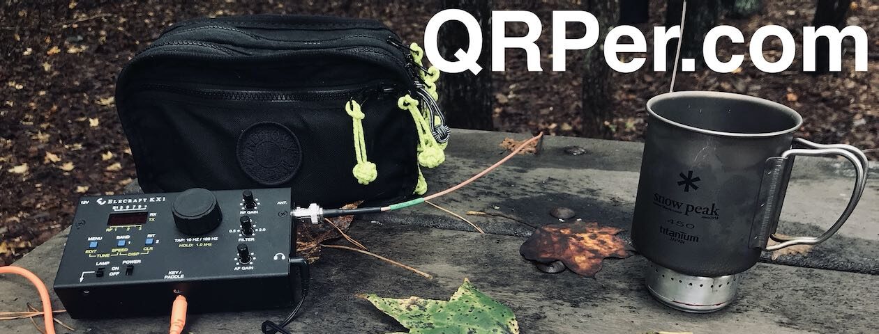
In the photo above you see the bin I have been using lately to carry my kit. It contains all of the items shown in the gear lists below. Yes I can carry much less, but when arriving at someplace new, it’s helpful to have items on hand to handle the unexpected.
What I learned along the way
- Don’t trust your instincts about solar indicies. Use the IARU beacons and then check conditions for yourself.
- Dust is a fashion accessory.
- Having too much water in your vehicle is a good thing.
- An extra set of footwear is helpful.
- While I could have done this without a satellite communicator, I’m too much of a city kid so this is a good safety item to have.
- Nothing beats the chance to sit lakeshore in the mountains to soothe your mind and soul.
- Start your planning a couple of days before you go. Revisit your plans again before you depart.
List of gear used for these activations:
- Elecraft KX3
- Talentcell LiFePO4 6Ah cell
- CIR-45D paddle key
- Seadream headphone cable for the key
- Zoleo Satellite Communicator
- A plain paper notebook and large binder clip
- The binder clip holds the key thanks to magnets!
- Staedler drafting pencil/lead holder
- 25′ RG-174 feedline with inline FT140-43 toroid
- VE6VID EFHW 66′
- Homebrew electret mic for KX3 (8.5cm long, 7g)
- Chameleon wire winders
- Leadsound 3W portable speaker
- 7.1m carbon fibre “crappie” fishing rod
- South Bend spiral fishing rod holder
Gear brought along but not used
- Elecraft AX-1 kit
- AX-1
- AXE-1
- Bipod
- Tripod adapter
- Tufteln 41’/17′ random wire antenna
- Assorted RF adapters and a dummy load!
- Amphenol 5′ RG-174 feedline
- Amphenol 25′ RG-174 feedline
- Spark Plug Gear 50W transformer and wire winder (for my EFHW)
- Pack of 3 tent pegs plus guy rope ring (for freestanding of the fishing rod mast)
- One ounce fishing weights
- Random assorted small and medium carabiners and S hooks
- Aluminium guy rope tensioner
- Digital voice recorder
- Jimisha rubber anti-slip mats to put under the CW key
Dear Thomas, when are you coming to visit?
72 and dit dit,
…Vince
First introduced to the magic of radio by a family member in 1969, Vince has been active in the hobby since 2002. He is an Accredited examiner in Canada and the USA, operates on almost all of the modes, and is continually working on making his CW proficiency suck less. He participates in public service events around Western Canada and is active on the air while glamping, mobile, at home or doing a POTA activation. You can hear him on the Ham Radio Workbench podcast, follow him on Twitter @VE6LK, and view the projects and articles on his website.
Thanks for the great report Vince. Reminds me of a trip to Alberta I made in 2018. Wife and I took the short drive (ha!) out from Ontario towing our trailer. We stayed in Canmore while we toured the amazing scenery you have out there. I highly recommend the Icefields Parkway and, further east in AB, Dinosaur Provincial Park. If you ever activate either of those please write and publish your reports!
Hi John, I’ll be certain to do a report when I activate those areas. I’ve been fortunate to be posted at the Athabasca Glacier as a radio operator for a foot race for several years and will confirm the view never gets old and the wind never gets warm! Fascinating to be parked within 1km of a glacier for certain.
72,
.Vince
Vince,
A fantastic report! It has been years since I ventured into the mountains of Alberta, but they are unforgetable. The natural beauty can’t be put into words, it must be experienced in person!
Your tips & tip to utilize the IARU are very helpful indeed. Thanks again Vince & 72!
de W7UDT
Vince,
Love the IARU Beacon use. Those frequencies are going into the 817s memory channels before next activation.
Thanks,
Paul