by Brian (K3ES)
Sometimes life gets in the way of putting Parks on the Air (POTA). But sometimes, you just need to find a way to fit it in. In northwest Pennsylvania, spring and early summer have been damp, with April showers seeming to extend through May, June, and into July. The middle week of July seemed ready to bring more of the same, so when expected sunshine on Tuesday aligned with a break from other responsibilities, Molly the POTA dog and I took the opportunity to fit in a combined walk and activation.
Earlier in the day my Code Buddy, Al – KC4M, and I had cut short our periodic QSO as the 40m band took a dive. Molly and I would activate anyway. As we prepared to leave, the temperature was rising quickly through the upper 70s on its way toward 90F, and the humidity was high. Molly and I would activate anyway.
The Plan

I held two things in mind as I considered my activation options. First, Molly likes her walks. Unless it is raining, we take a daily half-mile walk to, and around, our pond. That suits her well, but she does like longer walks. Recently we had done far too many parking lot activations, so that we had a quick out in case of rain. I, too, needed a some exercise, so this activation needed to include a longer walk. Second, I have set a goal to collect 1000 CW activator contacts from the North Country National Scenic Trail (NCT) to finish a POTA Kilo Award from US-4239. Since nearly all of my activations are done with QRP CW, getting 1000 contacts takes quite a while. To date, I had completed 27 activations of the NCT, taking me to 833 contacts. In pursuit of my goal, I wanted to increase my tally by again activating the NCT. So, the plan had to include a decent walk to a location where I could activate the NCT.
The NCT crosses through the northwest corner of Pennsylvania, and there are many good locations for activating that are also close to our home. This time I picked a spot in Allegheny National Forest (ANF, US-0619) with parking and access to a sedate stretch of the NCT. So, we would try for a modest walk along the trail, stopping for a 2-fer activation, before returning again to the truck.
Onward!
A 20 minute drive (well, 35 minutes if you count the detour for unexpected roadwork) took us to our starting point. I parked my truck in an ANF parking lot located about ¼ mile from the NCT. As I suited up (In deference to today’s sun and previous days’ rain, I pulled on a brimmed hat and my muck boots, while Molly went barefoot with a basic leash), collected our gear (more on that later), and prepared for our walk, I realized that I had not picked up my DEET insect repellent on the way out the door. I would just have to hope that my treated clothing (more on that later) would keep the mosquitoes at bay, so we left the parking lot by following a gated forest road that would join up with the NCT.
The forest road gave us the opportunity to ease into the afternoon’s walking experience. As we passed along its well-drained gravel surface, trees provided shade, but most foliage was kept back by the roadbed, and the mosquitoes and gnats were a bit tentative.
Once we turned off onto the narrow track of the NCT, vegetation closed in, the humidity spiked upward, and the flying insects came looking for an easy meal. Fortunately, despite my lack of DEET repellent, we were not defenseless. Molly wears a collar that keeps fleas and ticks at bay, and it also seems to discourage mosquitoes. I dressed in clothing from Insect Shield: their long-sleeved fishing shirt, cargo pants, and socks had been pre-treated with a long-lasting permethrin formula (advertised to be effective for 70 washings). I also wore a brimmed hat that I had sprayed with permethrin. Permethrin seemed to discourage mosquitoes and gnats from biting, but they still had an annoying tendency to fly around near my face.


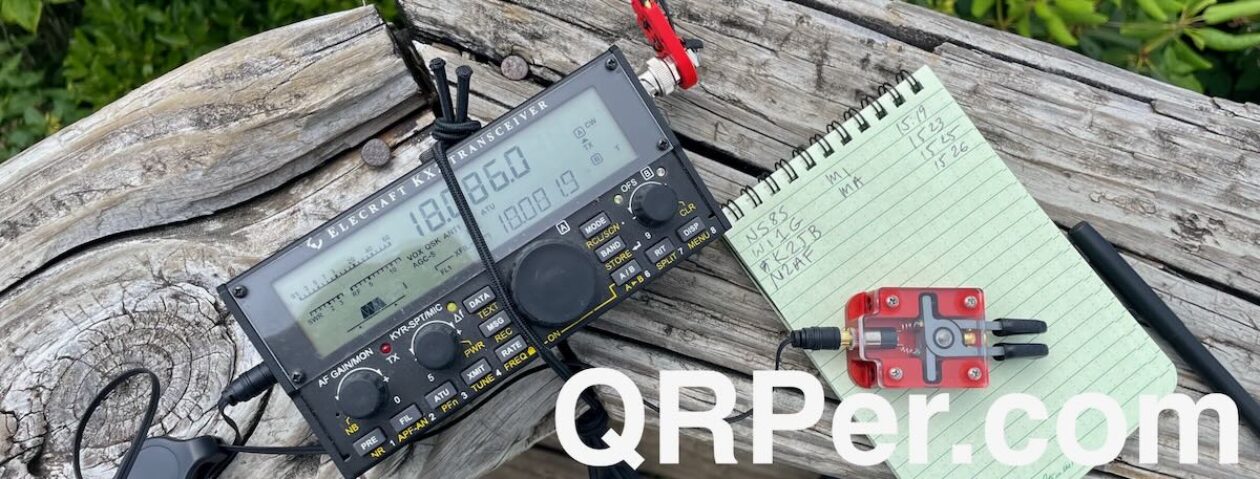
The temperature and humidity made for a steamy walk. I was glad I had prepared by bringing the light-weight kit built around my Elecraft KX2. It allowed me to bring along plenty of water to keep both me and Molly hydrated (her collapsible travel bowl fit nicely in the side pocket of my cargo pants) for the walk and the activation. After about a mile of walking, I found a reasonable spot to set up my shack. This was to be a rustic affair, because I brought a seat cushion rather than a full chair. I found a flat rock, just to the side of the trail, that was a comfortable height for a seat. There were also several overhanging trees, with promising branches to support my wire antenna.
The Activation

I attached Molly’s leash to a nearby sapling, and got busy with the setting up. Molly generally watches me for a bit, then takes a nap while I activate. This day was no exception. She particularly seemed to enjoy the damp ground as a refuge from the heat. Fortunately for both of us, she did not find it necessary to roll around and get muddy while enjoying the coolness. As a POTA dog, Molly is quite patient, but she is not shy about letting me know when it looks like we might stay beyond her dinner time. Continue reading K3ES: A Hot and Humid Walk with a No-Frills Activation


