 I’ll let you in on a little secret. Don’t tell anyone, but I held off making my first Summits On The Air (SOTA) activation until the stars aligned and I could activate one particular summit completely on foot from my QTH.
Last Thursday (February 25, 2021), my daughter and I hiked to Lane Pinnacle (W4C/CM-018) and performed my first Summits On The Air (SOTA) activation.
Why did I wait so long?
We live in the mountains of western North Carolina where (obviously) there are numerous SOTA summits to activate.
But I wanted Lane Pinnacle to be the first.
Why? Well, it’s the one summit I can hike to directly from my house with my daughter Geneva (K4TLI) and enjoy a proper father/daughter day hike.
I had planned to do this hike last year, but I injured my ankle and let’s just say that the hike to Pinnacle isn’t a beginner’s run. I knew my ankle would need to properly heal before the journey.
This is also more of a late fall to very early spring hike due to the amount of thick foliage we knew we would have to mitigate. It’s so much easier to keep your bearings when there are no leaves on the trees nor on the green briar!
Last Thursday, I felt confident that my ankle was up to the task. We had a break in the weather as well with moderate temps and lots of sunshine (this, after several days of rain). We knew things could be muddy and slippery, but we also knew that with my busy schedule this might be our last chance to hit the summit before the mountains green up.
So we packed a lunch, plenty of water, radio gear, and (of course) emergency/first-aid kits while trying to keep our backpacks as light as possible.
Hitting the trail!
The first part of the hike requires trailblazing to a ridge line. The distance is short, but the ascent is steep (about 800 feet). We hike this portion regularly, so knew how to pick our path and avoid the steeper, slippery bits.

On the ridge line, we intersected an established single track trail and enjoyed the hike across a couple of smaller summits until we intersected the Blue Ridge Parkway.

If I’m being honest, I had some serious concerns that the trailhead to Lane Pinnacle would be closed. This portion of Blue Ridge Parkway is currently closed to motor vehicles (for the winter season) and I had noticed a number of “trail closed” signs on other portions of the parkway.

If the trail was closed, I planned to simply activate the parkway and Pisgah National Forest for the POTA program. I never hike on trails that have been closed by the park service because I like to obey the rules and I certainly don’t want to paint SOTA activators in a bad light.

When we crossed the parkway, we were incredibly pleased to see that the trailhead was open.
The ascent from the parkway to Lane Pinnacle is about 1,000 feet (305 meters) of elevation gain over a pretty short distance. The trail we were taking–turns out–was primitive. It basically lead us straight up the slope (no switch backs following lines of elevation, for example) and simply fizzled out about one third of the way up. We could tell it isn’t traveled often at all (although we did find a massive fresh bear track in the mud on the trail!).

I bushwhacked our way to the top–at times, the slope was about 45 degrees and slippery, but we easily found our way to the summit where our goat path intersected the Mountains To Sea trail.
We found an amazing overlook and took in views of the Bee Tree Reservoir as we ate our lunches.
Geneva grabbed her dual-band HT and made the first summit contact with our friend, Vlado (N3CZ) on 2 meters FM.
On the Air

I knew there would be short trees on the summit of Lane Pinnacle, but I also knew that I wanted to get on the air as soon as possible to allow extra time for our hike home.
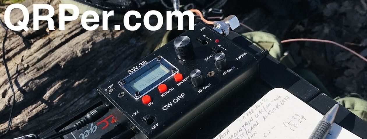
I did pack a super compact wire antenna, but opted instead for the Chameleon CHA MPAS Lite vertical. I paired it with my Elecraft KX2.
Gear:
The great thing about the CHA MPAS Lite is how quick it is to deploy–it might have taken me all of three minutes.
Since it was noon, I decided to start on the 20 meter band. I found a clear frequency, started calling “CQ SOTA” with the KX2 memory keyer, and spotted myself to the SOTA network via the excellent SOTA Goat app on my phone.
I had also scheduled my activation on the POTA website in advance because Lane Pinnacle is in Pisgah National Forest (K-4510). My buddies Mike (K8RAT) and Eric (WD8RIF) were also helping to spot me in the unlikely event I wouldn’t have cell phone service on the summit.
Within 20 seconds of submitting the spot to the SOTA network I had a CW pileup.

In all of my hundreds of field activations, I can’t think of a single time that I generated a CW pileup on 20 meters in such short order with five watts and a vertical.
The first station I logged was N1AIA in Maine. The second station was F4WBN in France. The race was on!

It took every bit of CW skill I had to pull apart the stations on 20 meters. It was so much fun!
I eventually worked Spain and all of the west coast states (WA, OR, and CA) and numerous stations throughout the Rockies and Midwest.
I then moved to 40 meters where I worked stations in the Mid-Atlantic, Ohio Valley, and in the Southeast.

In the end, I had to keep my total time on the air short because I wanted to take my time finding a path from the summit back down to the Blue Ridge Parkway.
In 30 minutes I worked 30 stations. I’m not a seasoned CW operator, so this was quite the accomplishment.
Here’s a QSOmap of my contacts:

I was chuffed! What a fabulous activation to kick off my SOTA adventures.
Video
This time, I did not make a video of the actual activation. For one thing, I didn’t want to carry a folding tripod for the camera and I didn’t want to ask my daughter to film it either. I wanted to keep things as simple as possible to make the most of the airtime I had.
I did, however, make a short video before and after. You can check it out on my YouTube channel:
Hiking home

I really wish we could have stayed on the summit for an hour longer making contacts, but I knew it would be wise to allow extra time to descend Lane Pinnacle especially since I knew a front was moving through later that day.
I decided it would be easier to do my own bushwhacking back down the mountain rather than try to retrace our previous steps. We took our time and I followed elevation lines to make it slightly less steep. Since I took a more south westerly descent, when we reached the parkway, we had to hike north to reach the original trailhead.
The rest of the hike was totally uneventful and incredibly fun. The weather held and we took in the views, the wildlife, and invaluable father/daughter time.
That was the first strenuous hike I had done in months due to my ankle, so let’s just say I was feeling “spent” after our 6.5 hour adventure taking in 2,000 feet (610 meters) of elevation to the summit.
I knew it was bad when I even dreaded walking upstairs to take a shower. I think I remember telling my wife, “I’m never building a house with stairs again!”
More SOTA!
![]() Now that I’ve got Lane Pinnacle in the books, I’m ready to start hitting the summits! I’ve got a lot of pent up SOTA energy!
Now that I’ve got Lane Pinnacle in the books, I’m ready to start hitting the summits! I’ve got a lot of pent up SOTA energy!
My goal is to activate a total of ten this year. That may sound like a modest number, but since at this point I’m less interested in “drive-up” summits, it’s more difficult to fit SOTA summits into my schedule than, say, typical POTA/WWFF parks.
In fact, I’ve already plotted my next SOTA activation and hope to do it within the next couple of weeks. It’s also a meaningful (to me) summit.
How about you?
Are you a SOTA activator or are you planning your first SOTA activation soon? Please comment!