
by Teri (KO4WFP)
As my friend Jon KC1FUU says “Some days are diamonds, some are stone.” The third day (Tuesday, July 16) of my North Carolina trip definitely fell into the “stone” category.
The day began nice enough with a slow but steady pace. As our next overnight stay was at Lake James State Park, it was time to break camp and set out northward for Linville Gorge Wilderness Area (US-10262). According to the US Forest Service website, “the gorge is formed by the Jonas Ridge on the east and Linville Mountain on the west and is bisected by the Linville River which drops 2,000 feet into the valleys below.” The gorge is also known as the “Grand Canyon of Eastern USA”.

When you activate parks out of the state and with which you are unfamiliar, you never know what the actual conditions will be until you arrive. In case we didn’t want to hike into the gorge, I figured there would a parking lot at which we could set up as is typical of many parks. However, that is NOT the case here. The roads that run along the gorge are also not in the park boundary. All the trails to hike are rated difficult except for one which doesn’t go into the gorge.
After the previous day, I was loathe to do any major hiking, especially for Daisy. The weather didn’t help either as it was sunny and warm.
There was one hike – Spencer Ridge Trail – whose description said there was a moderate section. Plan B was to ride to the other side of the gorge and hike enough to be in the park boundary and try an activation on Spencer Ridge Trail.

Have you ever ridden any forest service roads? Whew! They are a rough bunch of characters. This one – Table Rock Road – was no different. Roads like this is why I drive my Crosstrek Kai, as he is made for these kinds of adventures.


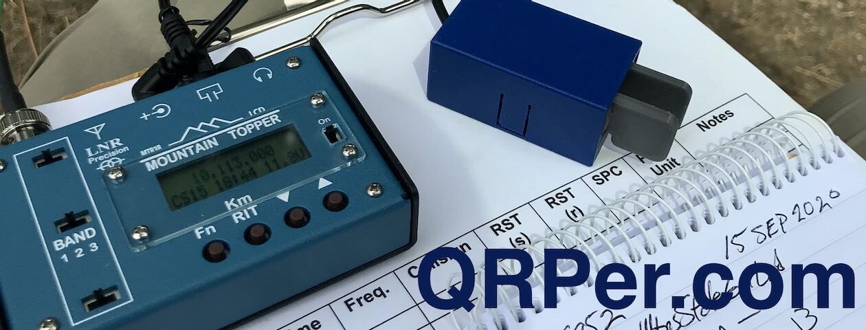
We parked in the lot for Spencer Ridge Trail, geared up, and began the hike. A little ways down the trail, we stopped and I set up for an activation. There was no way to put up an antenna in the trees as this was a narrow trail and likely there would be hikers coming along at some point. I opted for the AX1 and hopped onto 20 meters. After 10 minutes of calling CQ with no answers, I thought about moving to 40 meters. However, there was no room for that long of a counterpoise and, by this time, I was ready to admit “uncle” to the gorge. Sometimes, as another acquaintance says, “the juice ain’t worth the squeeze,” and it wasn’t by this point.


We rehydrated, loaded ourselves back into the car for the bumpy, crazy service road ride, and went on our way to the next activation – Table Rock Fish Hatchery (US-8012).
The hatchery, built in 1946, has 17 ponds as well as a flowing water flume for holding trout. Its water supply is nearby Irish Creek. It is the only coolwater hatchery in the state due to its location which raises fingerling smallmouth bass, walleye, and muskallunge as well as channel catfish.

Maybe I should have taken the rain I encountered as an omen this activation was not to be. It poured on the drive to the hatchery and for about 15 minutes at the site. There was blue sky in the distance and the clouds seemed to be clearing when all of sudden, the sun was out! However, with the sun came intense humidity, almost south-Georgia level humidity.
I set up in a picnic area outside the hatchery gates but still on hatchery property. I found a spot I could park Kai under branches for shade. As there were dogs loose on the property and the ground was soggy, I left Daisy in the car with the windows down and the Koonie fan on high to keep her cool.


Due to the rain, there was no lack of wildlife. As I set up, I disturbed a bunch of tiny (and I mean tiny) frogs. During the activation, I kept an eye on the ground while calling CQ over and over and spied a little beetle crawling nearby.


I deployed the EFRW antenna and hopped on the air. I’m not sure if it was the location or bad propagation or both but I had only one nibble. (Thank you Tim VA3UZ for that single contact!) I tried 20 meters for two periods as well as five minutes each on 40 and 30 meters. It was hot and humid. While setting up, the feed-end of my EFRW had dropped out of my pocket unbeknownst to me and I tore my hair out for over 20 minutes trying to locate it. Between the weather, the frustration from temporarily losing the antenna feed-end, and the lack of contacts, I had had enough and called QRT.


We drove onto Lake James State Park to set up camp for the night. What a pretty and open landscape this park has. I booked a spot in the Paddy campground, spot #1 right near the bathhouse. Given the rainy weather we encountered, this proved to be a good spot.


I planned for an evening activation at Lake James; however, the weather had a different idea. It rained several times over the course of the evening. So, the POTA Babe struck out – zero successful activations of the three parks planned for the day.
Yes, it was a stone kind of day. The good thing about stone days is they don’t stick around. At some point, the diamond days show up again. Was day four of my North Carolina trip a diamond day? Stay tuned…