
As always there are lots of links within the article. Click one! Click them all! Learn all the things! ?
by Vince (VE6LK)
In August and September 2024 I was travelling around Southern Ontario for some family matters and naturally I brought my radio kit with me to squeeze in some radio therapy stops along the way. This is the report of my stop at CA-5362 Fifty Point Conservation Area.
It’s my second to last day here in Ontario and, as I wasn’t needed for other things, it was time to do a POTA rove and make the best of my last full day. I’m always on the lookout for a park that is within striking distance of wherever I am that I have not activated before and/or has not been activated before in either SSB or CW. So I planned a route to get to 9 parks and managed to get to 7 and activate 5 before other matters called for my attention. All were planned to be drive-up activations given the area and time constraints I was working within.
In my day job, I’m a Project Manager in IT, thus my style is that I plan before I arrive. You’ve already seen evidence of this with my POTA and Checklist tools that I’ve spoken about before. I usually do an in-depth study of a site before I depart, including reviewing linked webpages from the pota.app site, a satellite view and street view of the entrance on maps.google.com, and if it’s available, a 3D view of the area from maps.google.com. Let me know in the comments about the other ways you review a park before your arrival.
However I was pleasantly surprised when I found picnic tables with a view of the water at more than one of them! Balancing the good with the not-so-good, there were also some frustrations… I could not locate one of my planned stops despite driving up and down the road with two different GPSs blaring at me. My experience has shown that the smaller the park, the harder it is to find mapping, and this one from the Conservation Authority was no exception, and thus I abandoned it and drove onwards. Another site was right beside the roadway and high-voltage lines, and I didn’t have time to do a walk-in and get away from the noise floor. I always have a back-up site in my list for situations like this.
The Hamilton/Burlington/Niagara area is very pretty and, with a late summer happening around the time of a harvest moon, I didn’t mind the extra driving. For those of you who have been to Hamvention at Xenia it will be somewhat familiar as the area is full of gently rolling hills and lush green pastures. The humidity is also familiar, ugh, and one of the main reasons I moved away from this area in 1997. But nothing beats the view of sailboats out on the water; I have always found serenity in this -even knowing I get boatsick if I get on board!

Fifty Point is a sprawling 80 Hectare (198 acre) area located on the southern shore of Lake Ontario at Winona. It has a top-tier restaurant, multiple beaches, pavilions and 330 slips for boaters, along with a camping area. It truly is a multi-use area! You can read all about it here (.pdf warning).
After locating the day use/beach area, I found a table overlooking the lake. As it was a mid-week day, there were plenty to choose from. The view was quiet with a few boaters enjoying the beach in the small bay directly in front of me.

I set up my 40-30-20m trapped EFHW given the solar conditions. I’m so very pleased with the performance of this antenna and it has become the one I reach for the most when activating on this trip. It is about half the length of a conventional 40m wire and is resonant on 3 bands. It has me musing about adding 17m and 15m to it… perhaps N7KOM will offer such a kit?
When I built this antenna, I tuned it so that best resonance was in the middle of the CW portion of each band, and with the feedpoint located just a few feet off the ground and then sloped upwards at the endpoint. That’s how I deployed it this time around. As you see in the prior photo, my newly acquired Fishing Butler bungee strap held the entire thing firmly in place without any movement once I set up the mast. You can get them at Fishing World in Hamilton as they ship around North America. They stock multiple sizes so a phone call may be needed as their online store shows only one size. Ask for the assorted pack.

Because I never was a Boy Scout and able to know where north is based on the position of the sun and time of day or how many chirps the cricket is giving <grin>, I consulted the compass on my smartphone. I unfurled my antenna and clipped it to the stop of the mast, walked the mast out to the length of the antenna and anchored it into the ground beside some Sumac bushes. With enough repetition, I’ve gotten pretty good at estimating where the far end of my antenna will be. It comes in helpful for parking lot activation and operating out of the trunk or your vehicle with a mast supporting the far end.
For these activations, and when I can, I’ve been orienting my antenna east and west so that it radiates broadside north and south so that I can capture the most number of hunters in North America. This is a contrast to how I normally operate from Alberta when my antenna is oriented to be broadside from southeast to northwest.
The activation itself was pleasant and I was surprised with visits from QRPer.com comment regulars KQ4CW and K5KHK – and I appreciate hearing from them often! 45 minutes after arriving I was packed up and on the road to my next stop.
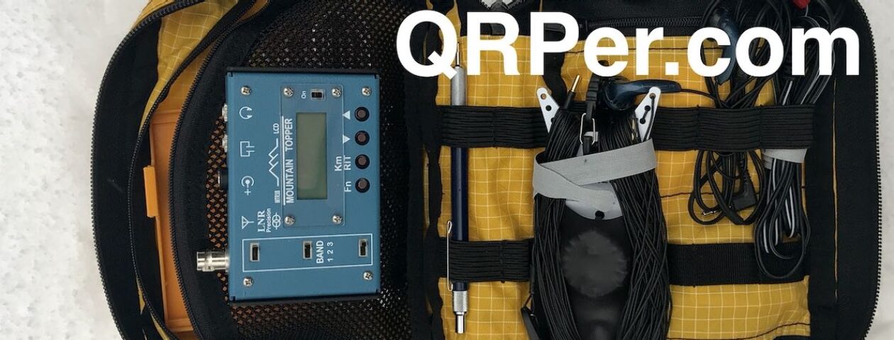
List of gear used for these activations:
Note: All Amazon links are affiliate links that support QRPer.com at no cost to you.
- Elecraft KX3
- Spark Plug Gear EFHW Transformer paired with N7KOM Microlight Traps
- Charmast 100W battery
- Palm Pico Paddle
- 5′ RG-174 feedline
- Tufteln Common mode current choke
- Leadsound 3W portable speaker
- Bass Pro Shops Extreme tackle bag 3600 size
Summary
We do POTA (and other programs) for various reasons. On this trip, it’s a break from life’s stresses. As I reflect upon my visits with various people, I realize that I’m quite blessed to know so many friendly hams no matter where I am travelling.
72 and dit dit,
…Vince
First introduced to the magic of radio by a family member in 1969, Vince has been active in the hobby since 2002. He is an Accredited examiner in Canada and the USA, operates on almost all of the modes, and is continually working on making his CW proficiency suck less. He participates in public service events around Western Canada and is active on the air while glamping, mobile, at home or doing a POTA activation. You can hear him on the Ham Radio Workbench podcast, follow him on Twitter @VE6LK, check out his YouTube channel, and view the projects and articles on his website.


