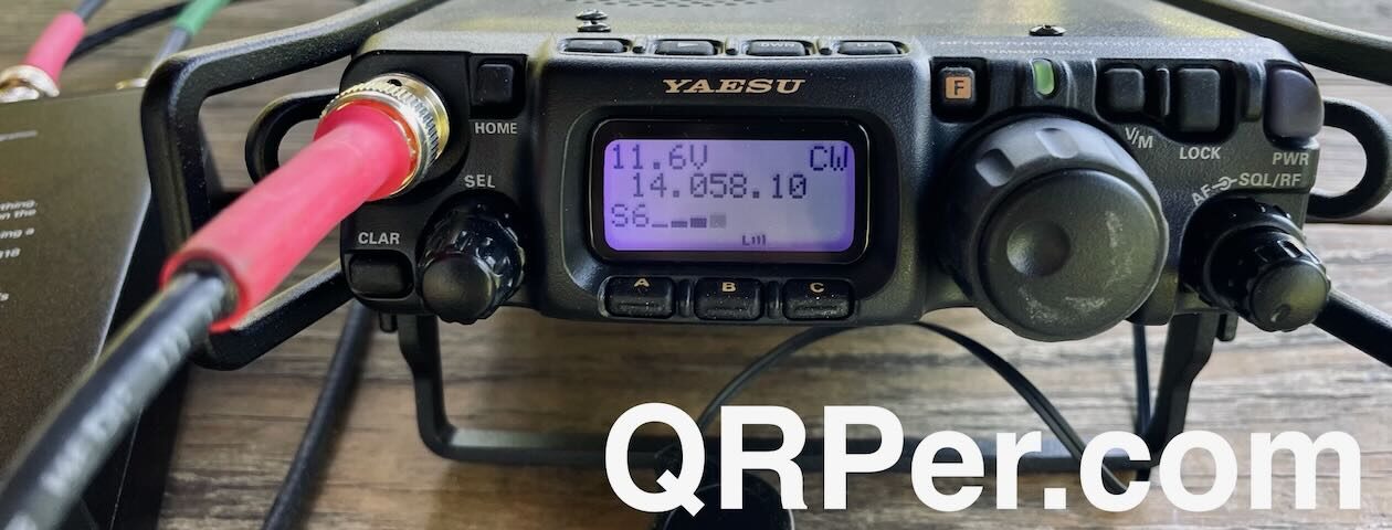
Many thanks to Jeff (VE7EFF) who shares the following guest post:
Off The Beaten Path – Campbell-Brown Ecological Reserve, CA-3925
by Jeff (VE7EFF)
This is the 2nd backpacked-in POTA activation outing that my wife and I have done this summer. I’m the 2nd person to have ever activated the Campbell-Brown Ecological Reserve (CA-3925). Last year was the first time I activated this eco reserve and that was also my first ever backpacked-in POTA activation.
After studying my GPS and Google Maps/Satellite view of the area, my goal this time is to trek about twice as far and twice as high as last year’s outing. There are no documented trails here. Access is a mixture of old overgrown and abandoned forestry road (or fire break, not sure which) and some crisscrossing animal game trails. The actual mileage/Km’s isn’t really that far, but it’s all uphill and a mixture of bushwhacking and scaling slippery grassy slopes.
The reserve borders along the busy highway 97, between the cities of Vernon and Kelowna, BC. The area overlooks the beautiful Kalamalka Lake, as you will see in some of the photos. There’s no actual parking lot, just a small gravel pull-over spot just off the highway. There is no formal pathway into the reserve either, so we had to scale the gated fence to start our journey.
 I’m a little bit familiar with the route we took last year, but I heavily rely on my Garmin 66sr GPS and Google Maps/Satellite view on my Pixel phone.
 My wife Alexis (VE7LXE), accompanies me on all my POTA outings. She packs the food and water while I pack the ham gear and other outdoor essentials. We both carry IC-V80 VHF handhelds for comms in the event we ever get separated. And of course we always carry bear spray when doing backcountry treks.
 We do have some relatively flat areas in sections, but there are also a lot of deadfall trees to either step over, climb over, or go around.
 This grassy meadow is where I activated last year. Actually at the top end of the meadow. But today’s goal is to find another open grassy meadow higher up the mountain. Higher usually means better radio propagation, not to mention spectacular views.
 Beyond the grassy meadow, we followed some semblance of a trail. But it wasn’t long before I realized that it wasn’t taking me where I really needed to go. So, according to my GPS and Google Satellite, we needed to head straight up-hill.
 This was actually a real slog uphill (especially for us 73 and 72 year olds). 🙂
 We decided that we have gone high enough. Time to off-load our packs. Continue reading Jeff’s Backcountry POTA Adventure: Campbell-Brown Ecological Reserve Activation

