
Many thanks to Bob (K4RLC) & Alanna (K4AAC) for the following field report:
Cabot Trail Activations on Cape Breton Island Nova Scotia – August 2024
By Bob K4RLC & Alanna K4AAC
In August 2024, K4AAC, my YL Alanna and I took a trip to magical Cape Breton Island in Nova Scotia, Canada. It was Alanna’s suggestion to celebrate my 74th birthday in July. She knew my “Bucket List” had a goal to visit and hopefully activate the two Marconi sites east of Sydney, the Parks Canada Marconi Memorial Site and the original 1905 Marconi House National Historic Site, both POTA sites. Thomas K4SWL kindly published the write up of this adventure a few weeks ago.
After initially activating the Marconi Park station at Glace Bay, we decided to drive the beautiful 300 kilometer Cabot Trail, which circles Cape Breton Island and parallels the rugged Sea coast on both the East and West sides, allowing you to have the steep mountains on your left and the Sea coast on your right – if you make the decision to drive the trail counter-clockwise.
 As this was a last minute trip and we had complications with Air Canada delaying our trip by a day, we decided to follow the major points of a clock, and visit sites at the 3:00, 12:00, 9:00, and 6:00 PM positions. The major problem is that there are so many wonderful sites, it’s hard to decide where to visit.
 The first day after we left Sydney (see Marconi write-up), we drove to Ingonish Beach Campground on the East, an easy drive from Sydney. You take the the Trans Canada Highway to pick up the northward Cabot Trail in South Haven. The Ingonish area has many places to visit. Alanna had done much Internet research and really wanted to visit Ingonish Beach at the campground. This is a very pleasant white sandy beach, bordered by smooth, rounded glaciated stones and views to the south of Cape Smokey Provincial Park.
As someone who lives part time in North Myrtle Beach SC, I was pleasantly surprised to see a lifeguard but even more surprised to see lots of people enjoying the very cold waters of the north Atlantic, with water temperature almost 20 degrees cooler than SC. It’s not even that cold when we do the Polar Bear Plunge on New Year’s at North Myrtle!

Less than a mile north of the beach, you enter the Cape Breton Highlands National Park, an almost 1000 sq KM park that spans from the east side to the west side of the island and has some of the most pleasant hiking and camping possible, including 27 different hiking trails.
We decided to hike the Middle Head Trail starting near the historic Keltic Inn. The trail is on a mile plus long narrow finger of land that juts into Ingonish Bay, separating its North and South parts. Middle Head is a rocky, up and down trail, very similar to parts of the Appalachian Trail back home in North Carolina. (While the Scots settled in Cape Breton, many also settled in Western North Carolina, as both areas reminded them of their Scottish Highlands home).
The trail ended in a high rock outcropping. We spent time there enjoying the beautiful ocean view and seeing one lone seal, but it is very popular so we went off to the side and set up the radio on a flat-top boulder. The radio was again Rhett KB4HG’s KX2 (as mine was in the shop), with the modified MP1 base loaded coil Vertical on a camera tripod. Unfortunately, our timing was bad as there was another major solar flare. We only had a few contacts on 20 CW. Nevertheless, the beautiful view and hike was well worth it. We spent the night at a country inn there, overlooking the Bay, and enjoying fresh local lobster tacos.


The next morning, we resumed driving north toward Bay St. Lawrence with a few possible activation sites in mind. The first was in the very small fishing village of Neils’ Harbor, where the 1899 Lighthouse is both a POTA site (Neil’s Harbour Lighthouse National Heritage Site) and a Canadian Heritage Lighthouse. There is a small fenced in area around the Lighthouse, keeping you from falling over the cliff to the ocean below, and two picnic tables.
While picturesque, this area had the worst electrical noise I’ve ever heard, ranging from S 6-8. Consequently, I only made two 20CW contacts with Ontario, using the stock KH1. Some may consider this as “failed” activation but, to me, it’s a success to operate in a beautiful, historic site by the ocean. On the positive, inside the Lighthouse is an ice cream shop, selling local flavors, but Cash only.

Driving 10 KM north off the Trail, we stopped at another POTA site (CA-0454), Cabot’s Landing Provincial Park, on the shore of Aspy Bay. The park has a white sandy beach coastline, and a monument to John Cabot, who allegedly landed there in 1497. The location also marks the 1856 western terminus of the proposed Transatlantic Telegraph cable from Cape Breton to Newfoundland. It was another Kodachrome day by the ocean, with a scenic vista of the steep face of the Pollets Cove-Aspy Fault Wilderness Area to the north of the coastline.
Having gotten there before lunch, I was really happy to see few beach-goers and several high posts around where I hoped to erect an EFHW for 20 meters. Unfortunately, just as we began setting up, the park became filled with sunbathers, of course walking through the planned antenna area. Thankfully, the trusty KX2 and Modified MP1 on the camera tripod by the picnic table did fine. Propagation was decent for a change, and I soon was working a pile-up of other Canadian stations and into the US on 20 CW. But the most amazing aspect was that there was absolutely no electrical noise to interfere with this activation. It was a wonderful experience to operate in a really quiet and picturesque area, so far off the electrical grid.


Before we left Raleigh, I had corresponded with Paul VE1PVH, the SOTA manager for Nova Scotia. There were two SOTA peaks in the far north of Cape Breton Island that I was interested in, but neither had been activated in almost 9 years. Paul quickly wrote back very friendly that he had activated both peaks many years ago. According to Paul, Cape North VE1/CB-003 had become massively overgrown and untended, such that it was a several kilometer rough bushwhack to get there.
He stated that even in his Jeep, the last time he tried he was unable to make a 2 km drive to the trailhead. VE1/CB-005 Wilkie Sugarloaf was the other island SOTA site, but Paul stated that it was on private land and not well tended but maybe doable. The problem is that there is not a marked entrance and one has to find a painted rock on the roadside but there’s no parking.
While we were activating at Cabot’s landing, a curious local who happened to be an electrician came up and we began discussing the radio and Sugar Loaf. He knew where the painted rock entrance might be, but stated that since it was late in the afternoon and a long climb, we would be caught in darkness and should delay going until the next day. Unfortunately, we had reservations in the far north, so we were unable to do Sugarloaf – maybe next trip.
We drove a few more kilometers north on Bay St. Lawrence Road to stay the night at Burton’s Sunset Oasis Motel. It truly is an oasis, on a hill overlooking a beautiful harbor, with great sunsets. There was a mournful cow sound coming from the Bay; it took a long time before we were told these were auditory buoys and the sound warns fishermen away in the heavy fog.
From Burton’s, we decided to go to the furthest point north on Cape Breton Island, taking a paved road which turns into about a 12 km dirt road to a little village and camping area called Meat Cove. The name had its origin from being a hunter’s area where they dressed their animals. At the end of the road is a primitive campground without hook-ups, right on the precipice overlooking the St. Lawrence Bay. The food hut there is called “Lawless Lobster,” and they only take cash because the owner doesn’t want the government to know where he is :-).
As the northeast and northern parts of the island were settled by Scots, a strong Gaelic influence remains – as evidences by the road signs all in both English and Gaelic. Some of the locals still speak this beautiful mystifying Scottish dialect. No radio this time, just enjoyed amazing nature and great lobster.


The next day, we began our journey going south along the western coastline of the Cabot Trail. We decided not to stay in Cheticamp, the more French influenced part of the island in the 9 o’clock position, but did stop there for lunch with a coastal view and a menu reading: “Poutine Heaven.” I splurged on their copious BBQ Poutine platter before we set out for a lighthouse on Cheticamp Island, off the West Coast of Cape Breton – Enragée Point Heritage Lighthouse that is also a POTA Site CA-5808.

Cheticamp Island is a long rectangular island with the lighthouse at the far northwest corner, a pleasant drive on a dirt road to get to the beautiful lighthouse for activation. As we were short on time, I took out the KH1 to give it a try, standing in the field next to the SUV. The propagation gods were with us and on the first try calling CQ on 20 CW with no spotting, I got my friend Rich N4EX back in Raleigh.
I had a pleasant pile up with the KH1 using the attached whip and stock key. I also made a distance record of working a station almost 4000 miles away in Palo Alto California running 3 watts on 20CW!
The KH1 did great for this impromptu activation.


We then took the Cabot Trail further south and inland toward Baddeck, a lovely village that also has the Alexander Graham Bell National Historic Site , also a POTA site CA-4826. We spent the night in a quaint hotel that provided each room with a deck and two Adirondack chairs overlooking the coastline. We arrived early the next morning to tour and activate the Bell National Historic site. It is a very extensive Museum detailing the history of Alexander Graham Bell, and displaying his innumerable inventions and technological advances, including the “voice telegraph.”

Bell was very interested in speech and language and working with the hearing-impaired, as both his father and later his wife were deaf. Born in Edinburgh, the family moved to London where they experienced tragedy with loss of his brother and two sons due to the cesspool London had become then. Bell decided to relocate to Canada for health reasons and found Cape Breton Island to be much like his beloved Scotland.
Bell did attempt to contact Marconi for collaboration. Although Baddeck and Glace Bay are only 100 KM apart, Marconi replied that they needed to delay meeting as he was busy working with the British Boer War effort. Bell was a prolific inventor who even figured out how to transmit voice over beams of light, predicting the cell phone.
I was very happy to look at the evolution of his telephones exhibit and see one of his greatest inventions called “the Liquid Telephone.”When I was a kid in Winston-Salem North Carolina, my dad was a manager at the local Southern Bell Telephone & Telegraph Company and supported my interest in radio and electronics. Dad bought me a kit of Bell’s original Liquid Telephone, which I was able to build and have conversations with a friend over, much like Bell and Watson.
I left Alanna in the museum gift shop and was able to set up the radio on one of the two picnic tables in the shade. Again, there was no room for a wire antenna so I set up the KX2 to a modified MP1. Conditions were okay, not great-not bad, but I again was able to work stations throughout Ontario and Québec and down into the mid Atlantic and North Carolina. At one point, one of the Park Rangers, a very pleasant young woman, came over and asked what I was doing. I explained the radio and she said she thought Bell would approve of it. She became very excited when she realized I could transmit, not just receive.
I needed a pen to jot down a call sign and she pulled out a pen from the museum and said “here’s a souvenir for you.”
It was another magical day being on a hill looking down toward the massive Brass d’Or lake which separates Baddeck from the other parts of Nova Scotia. Alanna had fun in the gift shop buying T-shirts and refrigerator magnets for family and friends, and later joined me at the picnic table on the hill.


Later that afternoon, I decided to chance the recommendation of Mike from the Marconi NHS Station, and drive back out to Marconi Towers Road and try to be the first to activate the original Marconi House, a National Historic Site of Parks Canada and a POTA site.
That’s when I had the great good fortune to meet Barry, the grandson of the man who bought the house from Marconi, who graciously invited us onto his property and into the house. That is all explained in my Marconi article Thomas published.

Radios & equipment
My approach to radio equipment is to be a minimalist. This comes from being a wilderness backpacker in the 1970’s, long before there were reasonable portable radios (eg, not Military). The approach is to carry the least weight and maximize what you have.
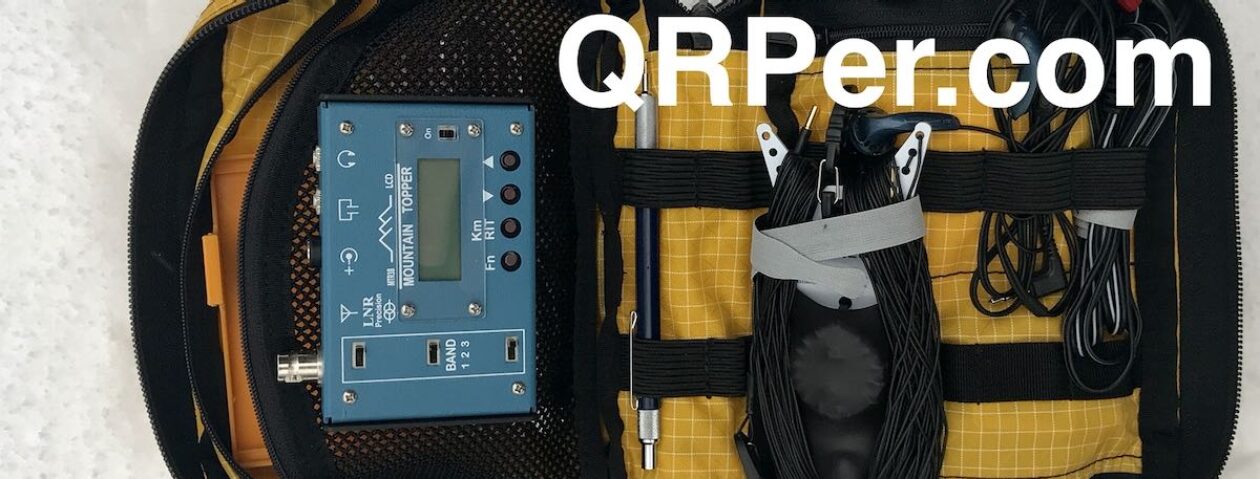
My Go-To radio is the Elecraft KX2, a wonderful piece of engineering. I also have the Elecraft KH1 but it doesn’t do as well with the bizarrely bad atmospheric conditions we’ve had. As a backpacker wanting to have a small “footprint,” I use the MP1 “Super Antenna” modified on a lightweight camera tripod and 4 homemade 13ft counterpoises. The MP1 is great for me, as I like to hang out on the edge – exposed rock faces with a several hundred foot drop. For this trip, I carried an EFHW, but was not able to deploy, due to being in crowded parks or on the steep rock cliffs at Middle Head Trail. Logging was pencil and paper using a free notebook and pen from a professional conference years ago.
In hindsight, we really should have taken two weeks or more to explore beautiful Cape Breton Island. Of the 27 hiking trails in Cape Breton Highlands NP, we only had time to do a few. There are more POTA sites on the island than you can imagine, and we were only able to do a few of those. However the scenery and food was great; the locals were gracious and welcoming; and we made wonderful friends at both Marconi sites.
We absolutely look forward to going back for a longer visit.
73 de K4RLC & K4AAC
Equipment List
Note: All Amazon links are affiliate links that support QRPer.com at no cost to you.
Thank you, Bob and Alanna, for sharing this amazing field report!
The Cabot Trail is one of the most stunning places in North America, in my opinion. When Heather and I drove the Cabot Trail, it was also counter-clockwise. Next time we go, we’ll take your advice and allow two full weeks. 🙂
We’re also eager to spend a month or more in Newfoundland/Labrador and re-visit the Gaspé in Québec.
Again, many thanks for taking us along on the journey!
Cheers,
Thomas
A wonderful adventure and thorough report, Bob. Reading about these famous locations in the history of radio, reminds me of the fact that there are many of them scattered around Eastern Canada, including another Alexander Graham Bell Homestead National Historic Site here in Ontario POTA CA-5297. It is at this location that Bell invented the telephone. I see a POTA activation in my near future! Hope you can return to Canada for another POTA rove soon.