

Activating on the Road: National Forests and National Grasslands
by Brian (K3ES)
After a short break, with life getting in the way, this article continues my series on our 2024 road trip across the United States (Six Weeks and 7300 Miles: Activating on the Road). I hope to wrap up the series with a couple more articles (not yet written) over the next few weeks.
One of the goals of our great 2024 adventure was to make significant progress toward the Activated All States award for Parks on the Air (POTA). To do this, we planned our route across the American west to pass through all of the Western states that I still needed to activate. Since we still planned to spend time visiting with my parents at their home in California, we kept our travel time limited to about 2 weeks for the outbound trip and 1-1/2 weeks for the return trip. While our route would meander, we had to limit the time we spent in each of the states. Thus, many of the parks where we stopped were chosen because they were located very close to our planned driving route, and could be activated during a short break during the travel day.
To make activation planning work, we became very familiar with maps: Google Maps, the mapping function of POTA.app, a big handful of state highway maps from the American Automobile Association (AAA), and the National Park Road Atlas. While mapping with POTA.app was our go-to resource for choosing parks, it does have one significant drawback: there is only one locator pin for each park, which fails to convey the full extent of some vast entities. This is particularly true for National Forests (NFs) and National Grasslands (NGs). If you are trying to activate entities near your planned travel route through the American west, there is a good chance that you will find yourself within the boundaries of a NF or NG, and chances are equally good that the pin representing that entity on the POTA.app map will not be found anywhere near your current location.
We discovered that the expansive NFs and NGs were represented well on our paper highway maps, and were also well marked with signs along the highways. These entities, operated by the Department of Agriculture, have no general admission fee, are typically not crowded with people, and are generally a permissive environment for POTA operators. By permissive environment, I mean that there were not restrictive rules about antennas, ropes, wires, and use of trees. Some of these entities have picnic areas, campgrounds, and trails that can serve a POTA activator well, but it is also possible to find road-side sites that are suitable for quick activations. The following sections contain brief reports on the six NFs and NGs that we activated during our trip.
Buffalo Gap National Grassland US-7487

We found a trail head parking area in Buffalo Gap NG, located just outside the entrance gate to Badlands National Park in South Dakota. Having finished our drive through Badlands, I decided to do a quick activation of the adjacent entity. Although the trailhead area had few amenities, I was quick to take advantage of one: a couple of small trees that provided a patch of shade for the truck on a hot and bright afternoon.

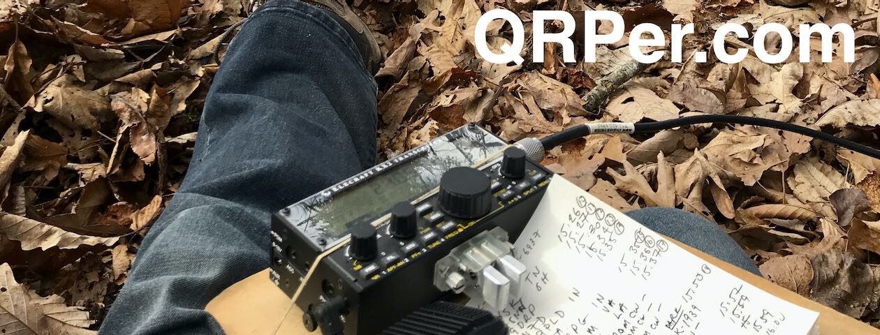
I set up using my Tufteln 35 ft end-fed random wire (EFRW) antenna, with a collapsible fishing pole supporting the apex for the inverted V configuration. I operated for less than 40 minutes on the 20m band, as usual running CW at 5 watts, and logged 34 contacts. That was a spectacular success in my book!

Black Hills National Forest US-4524
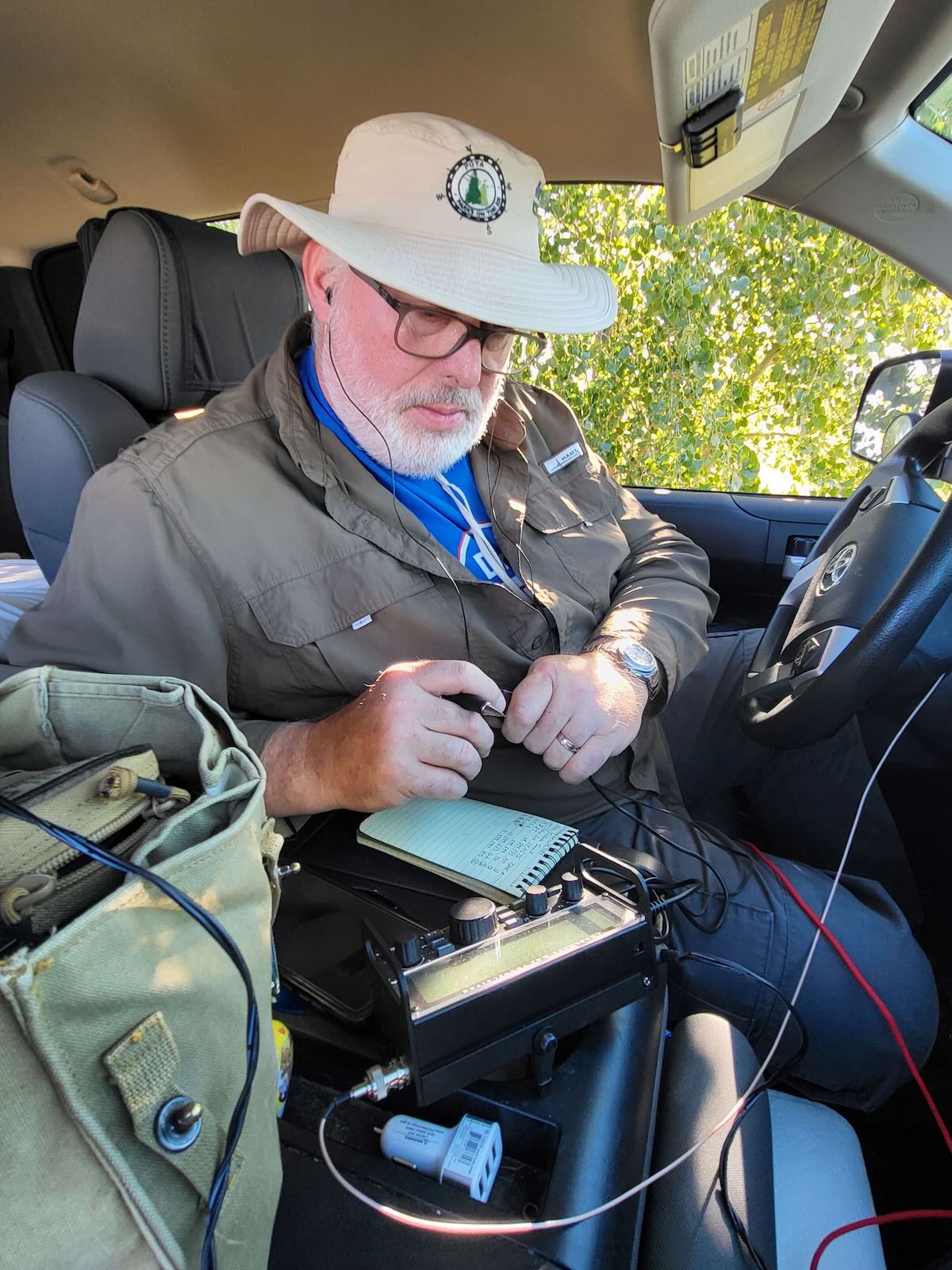
 A few miles down the road from Mount Rushmore National Monument, we found the Breezy Point Picnic Area in Black Hills NF. Having already activated Mount Rushmore, we stopped to eat our lunch, use the comfort facilities, and give POTA dog Molly a chance to stretch her legs. In keeping with the name, there was a pleasant breeze. The temperature was comfortable, and there were a number of picnic tables shaded by adjacent trees. Naturally, I took the time to set up my station to activate this new-to-me South Dakota entity while we were there.


I threw a line up into the branches of a tall evergreen tree beside my picnic table, and pulled up my Tufteln 35 ft EFRW antenna into a near vertical configuration. In a bit less than 30 minutes, I logged 22 QRP CW contacts to complete a successful activation.

Oglala National Grassland US-7478

Having spent a few days enjoying spectacular sights in southwestern South Dakota, we were close to the corner of Nebraska, and wanted to make a quick hop across the border for an activation before continuing our travel northwest into Wyoming. Consulting our maps, we found that part of Oglala NG was located just across the border, making it very convenient for a quick activation. We followed a highway across the border, turned onto a gravel road, and followed it a short distance to the sign for Oglala NG. Continue reading Maps, Miles, and Morse: K3ES’ POTA Adventures in National Forests and Grasslands Across the West